Catalog Archive
Auction 191, Lot 144

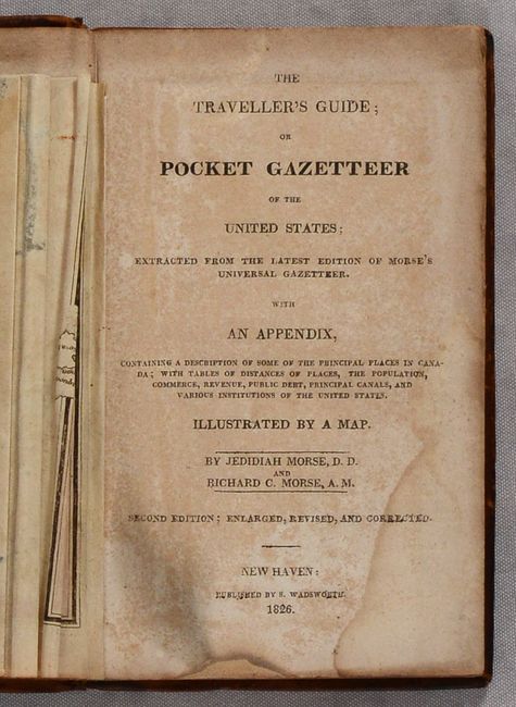
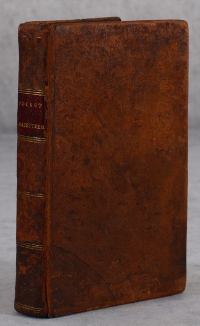
"[Map in Book] United States [in] The Traveller's Guide; or Pocket Gazetteer of the United States; Extracted from the Latest Edition of Morse's Universal Gazetteer...", Morse, Jedidiah (Rev.)

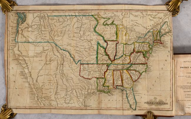
Subject: United States

Period: 1826 (published)

Publication:

Color: Hand Color

Size:
16.8 x 10 inches
42.7 x 25.4 cm
Download High Resolution Image
(or just click on image to launch the Zoom viewer)

This uncommon map of the United States shows early territorial configurations in the middle of the country. Arkansas is in its large configuration extending to Mexico, while Texas is named and is part of Mexico. The large Northwest Territory is bounded on the west by the Mississippi River and stretches to Lake Superior and Lake Michigan. The central plains and Northwest are labeled Missouri Territory with a portion extending into Canada labeled New Caledonia. In Utah a lake is shown whose "Western Limits...are unknown" and just to the east is the Valle Salado. An unknown, spurious river bisects the unnamed Great Basin with a hopeful notation predicting it "will probably be the communication between the Atlantic and Pacific." Still bound in the front of Morse's 336-page Pocket Gazetteer. 16mo., hardbound in full contemporary leather.

References: Howes #M-839.

Condition: B

The map has contemporary outline color with light scattered foxing and a 1" binding tear at right that has been closed on verso with archival tape. Text has scattered foxing and light dampstains in the bottom corners of the pages. Binding is lightly worn with the front hinge starting at bottom.

Estimate: $300 - $375

Sold for: $650

Closed on 2/8/2023

Archived