Catalog Archive
Auction 191, Lot 109

NO RESERVE

"British and Russian America", Grattan & Gilbert
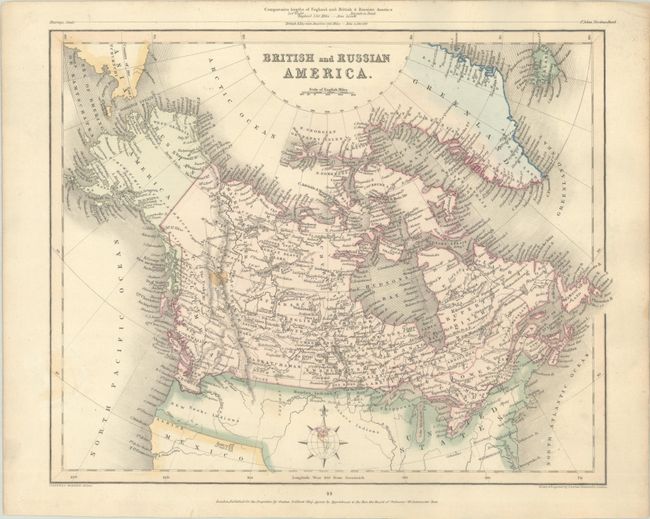
Subject: Canada

Period: 1841 (circa)

Publication: Gilbert's Modern Atlas

Color: Hand Color

Size:
11.4 x 9.1 inches
29 x 23.1 cm
Download High Resolution Image
(or just click on image to launch the Zoom viewer)

This handsome atlas map of Canada extends to include Russian America (Alaska), Greenland, Iceland, and a portion of Asia across the Bering Strait. There is fine detail of much of Canada, including place names, rivers, lakes, and other topographical details, but the Arctic regions are incompletely mapped. Given that the map was published in London, it is no surprise that Canada's southern boundary falls along the Columbia River, reflecting British claims in the region. The map depicts part of the United States with sparse detail, although New Albion, Youta or Gt. Salt L., and some Indian tribes are named. The comparative lengths of England and the region covered on the map are illustrated above the upper neatline. Decorated by a compass rose featuring a globe. Engraved by Joshua Archer.

References:

Condition: B+

Contemporary color with one small spot in the Canadian Rockies.

Estimate: $100 - $130

Sold for: $220

Closed on 2/8/2023

Archived