Catalog Archive
Auction 190, Lot 90
"Karte von dem Laufe des Flusses St. Laurenz von Seiner Mundung an bis Uber Quebec zu der Allgemeinen Historie der Reisen", Bellin, Jacques Nicolas
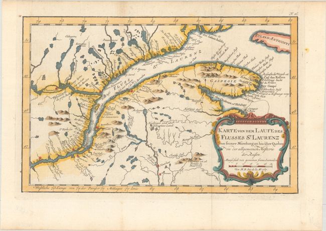
Subject: St. Lawrence River, Canada
Period: 1757 (dated)
Publication: Allgemeine Historie der Reisen zu Wasser und Lande…
Color: Hand Color
Size:
11.9 x 7.6 inches
30.2 x 19.3 cm
Download High Resolution Image
(or just click on image to launch the Zoom viewer)
(or just click on image to launch the Zoom viewer)