Catalog Archive
Auction 190, Lot 716

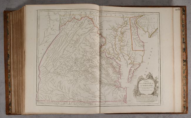
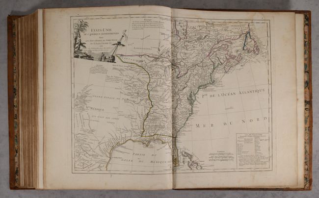
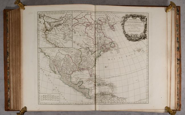
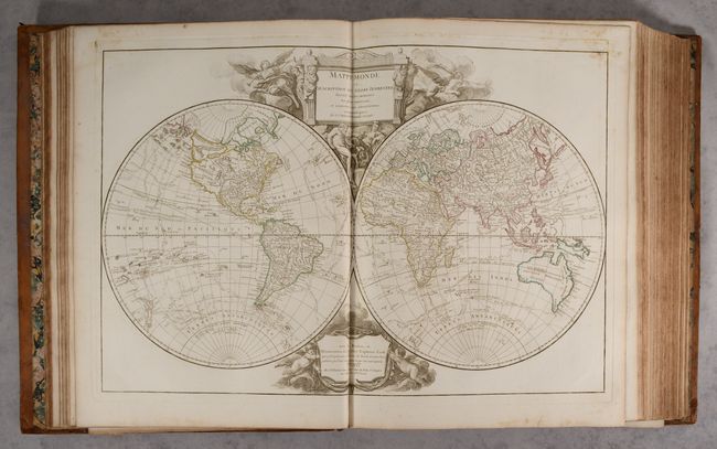
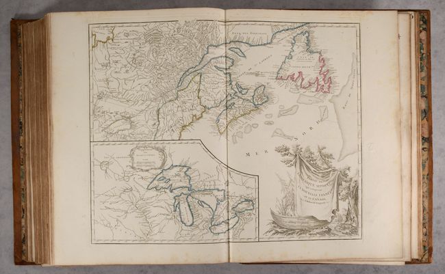
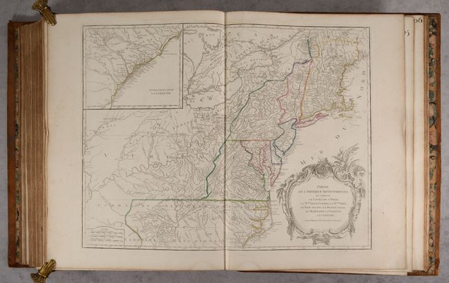
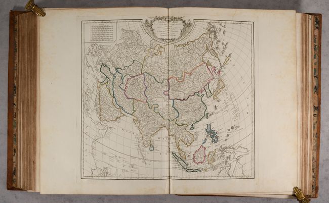
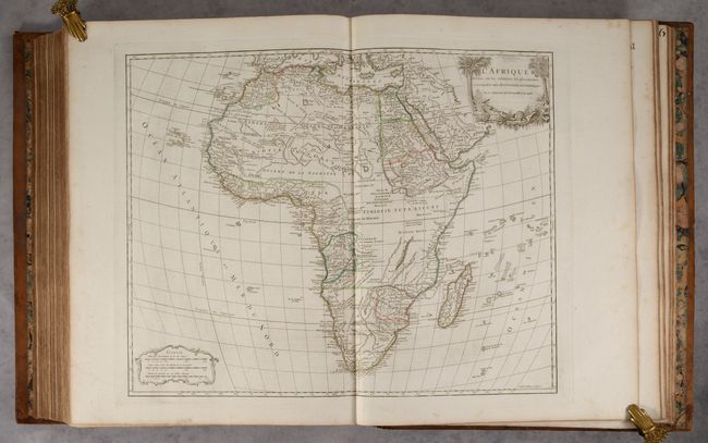
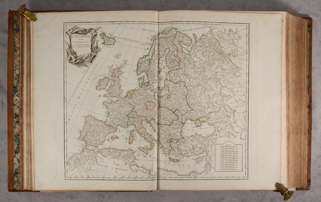
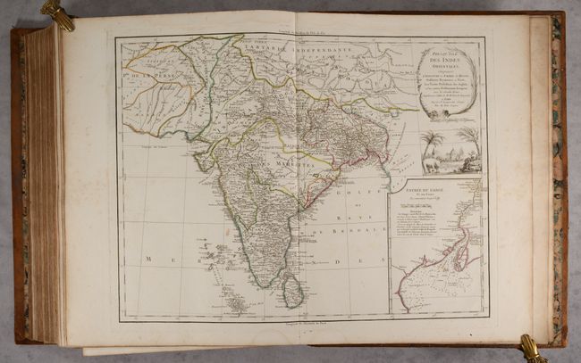
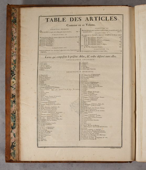
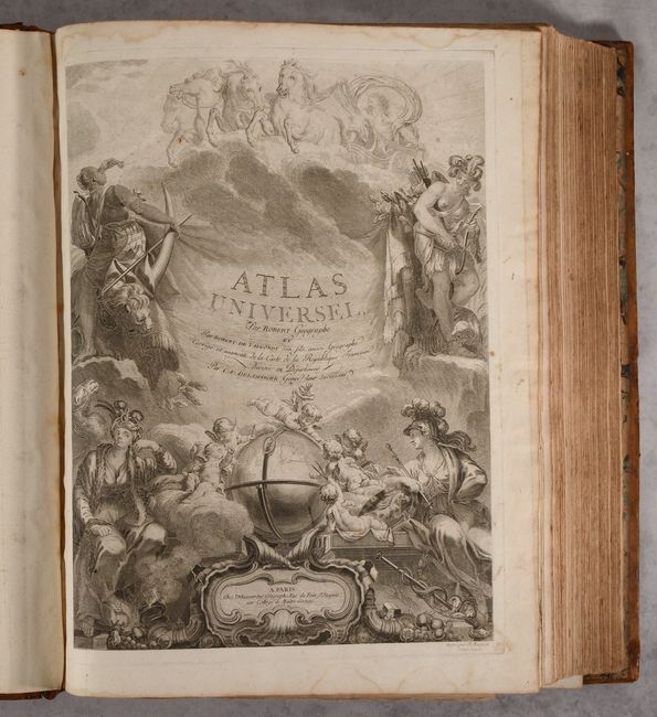
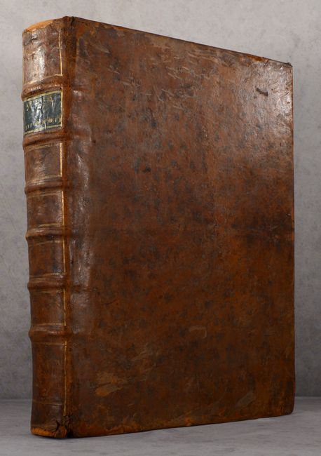
Complete Elephant Folio Atlas in Contemporary Color with 112 Maps

"Atlas Universel", Robert de Vaugondy/Delamarche

Subject: Atlases

Period: 1788 (circa)

Publication:

Color: Hand Color

Size:
18 x 22.5 inches
45.7 x 57.2 cm
Download High Resolution Image
(or just click on image to launch the Zoom viewer)

This is a lovely example of Delamarche's edition of Gilles and Didier Robert de Vaugondy's great atlas, with 112 double-page maps. Originally published in 1757, Gilles' and Didier's goal with the Atlas Universel was to create a work that was "commode, complet, uniforme, et suivi" (easy to handle, complete, uniform and consistent). Their desire for the atlas to be uniform and consistent, both in style and scale, was a concept introduced by one of their relatives, Nicolas Sanson. Although the Atlas Universel was well received, it was difficult for the Vaugondy's to make much profit due to the high cost of creating and engraving the 108 new maps for the atlas. After Gilles died in 1766, Didier took over the business but was forced to sell it in 1778 due to financial reasons. The business was sold to Jean Baptiste Fortin, a globe maker. After Didier's death in 1786, Charles-Francois Delamarche purchased the Vaugondy stock from Fortin. Delamarche was a lawyer by training and how he developed an interest in the map business is unknown. However he became a successful map publisher by focusing his endeavors on buying old stock (including that of Bonne, Desnos and Janvier), correcting the plates, and assembling the maps to create new atlases.

The majority of the maps in Atlas Universel were engraved by the family Delahaye, who also engraved maps for Gilles Robert's Atlas Portatif Universel et Militaire. The Vaugondys provided manuscript maps to the Delahaye workshop, where the Delahayes and their assistants engraved the copper plates. Once a plate was completed, it was brought to the Vaugondy's house for a proof to be pulled, at which point corrections would be noted and the plate would be sent back to the Delahayes for rework. Once a plate was satisfactorily completed, the Vaugondys would sign a note to be brought to their publishing partner, Antoine Boudet, who would pay the Delahayes 220 livres per map.

The sources for many of the maps in the atlas were Sanson and Delisle, but the Vaugondys also used more up-to-date sources from the 1740s. The Vaugondys attempted to find the most accurate, up-to-date information possible, and succeeded in using maps from the Depot de la Marine as well as geographers of different countries. In addition to presenting accurate information, the Vaugondys also paid great attention to incorporating beauty and artistry in their atlas. Despite being designed and engraved by several different engravers, the cartouches are consistent throughout the atlas, with simple, yet elegant lettering framed by flowers, swags, and symbolic elements from the place being mapped. Most of the cartouches are engraved and signed by Elizabeth and Marie Catherine Haussard, while the remaining cartouches were by Moreau, C. Cochin, P.F. Tardieu, and Gobin.

After Didier's death, but prior to Delamarche acquiring the plates, Antoine Boudet published an edition of Atlas Universel with three newly-engraved maps of the eastern United States, Holy Land, and India. Delamarche replaced Boudet's imprint on these maps with his own for his edition of the atlas. Included in Delamarche's edition are 12 maps of the ancient world, a modern double-hemisphere world map, maps of the 5 continents, 78 regional maps of Europe, 9 regional maps of Asia, a map of Egypt, and 6 regional maps of the Americas. There are many highly desired maps, including:

A. Mappemonde ou Description du Globe Terrestre shows the tracks of the voyages of Bouvet de Lozier, Anson, and Cook. Australia is depicted with a conjectural coastline connected to Tasmania, and Terre de Diemen appears both in Tasmania and on the northern coast. In North America the Pacific Northwest is beginning to take shape with the additions of Admiral de Fonte's discoveries, although there are still numerous inaccuracies. A series of rivers and lakes appears to depict at least one Northwest Passage, including L. de Fonte, Gr. Riviere de l'Ouest, and Lac Bernarda.

B. In Amerique Septentrionale, many changes have been made from earlier states of the map, including the new United States and an improved configuration of the Great Lakes after d'Anville. The large inset Partie Nord-Quest de l'Amerique shows the northwest region with much of the mythical cartography of the day including Lake de Fonte (Sea of the West) and the River of the West flows to the Pacific from a large salt lake, Tahuglauks.

C. Carte de la Virginie et du Maryland is Didier Robert de Vaugondy's edition of the Fry-Jefferson map. It details the region from Cape May in New Jersey to the Currituck Inlet and inland with finely engraved details of the interior regions of Virginia, the ridges and valleys of the Appalachians, and the Chesapeake and Delaware Bays. The locations of native camps and wagon roads are noted as well. Delaware is labeled as De La War Counties.

D. Etats-Unis de l'Amerique Septentrionale avec les Isles Royale, de Terre Neuve, de St. Jean, l'Acadie &c. was added by Boudet in 1786 and shows the newly created United States, extending to take in much of the Louisiana Territory and part of New Mexico. It shows the original thirteen states with the southern states' western boundaries along the Mississippi River. There are extensive notes throughout regarding early explorers such as De Soto and La Salle, Indian nations, forts, and other points of early interest. One of the most intriguing features of the map is the text block, which lists the original 13 states with their capitals and also ten new states proposed in the Jeffersonian Ordinance of 1784 - Silvania, Michigania, Chersonesus, Arsenistpia, Metropotamia, Illinoia, Saratoga, Washington, Polypotamia, and Pelisypia. This is the first reference on any map to Michigan as applying to a land division of the United States.

Includes title page, 33 pages text, and list of maps. All maps have original stenciled number on the verso. Elephant folio. Hardbound in full contemporary leather; raised bands, gilt tooling, and black leather title label on spine; marbled endpapers.

References: Pedley, pp. 118-119, 227.

Condition: A

The maps have contemporary outline color on bright sheets with light dampstains at top and bottom, confined to the blank margins on the majority of the maps. Some of the maps are in very good (B+) condition with the dampstains entering the image a bit at top or bottom, extraneous creasing, or light foxing. The map of Virginia & Maryland has a short crease at top center that has been reinforced on recto and verso with archival tissue. The title page has dampstains and soiling confined to the margins, and the text has light foxing. The covers and spine are worn with bumped corners, abrasions, small cracks, and some chips that have been repaired. The bottom edge of the spine is partially detached.

Estimate: $9,000 - $11,000

Sold for: $6,500

Closed on 11/16/2022

Archived