Catalog Archive
Auction 190, Lot 579

"Asia Partiu Orbis Maxima", Quad, Matthias von Kinckelbach
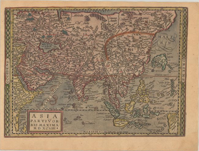
Subject: Asia

Period: 1598 (dated)

Publication: Geographisch Handtbuch

Color: Hand Color

Size:
11.4 x 8.3 inches
29 x 21.1 cm
Download High Resolution Image
(or just click on image to launch the Zoom viewer)

This is based on Gerard de Jode's map of Asia in 1593 with the crescent shape of Honshu, Japan. The northeastern coast of the continent is severely truncated with no hint of either Korea or Kamchatka. The East Indies are fairly well formed, owing to the Portuguese primary sources used by De Jode. Other geographical inaccuracies abound. India is shown extending through northern China and Indochina, and the mythical Chiama lacus is shown in central India with three rivers flowing south. The Caspian Sea is oriented vertically instead of horizontally and an oversized New Guinea is shown at bottom right and labeled Tierra Baixa. The map is densely engraved, including stipple-engraved oceans. This map is from a scarce pocket atlas published by Johannes Bussemacher. Blank verso.

References: Mickwitz & Miekkavaara #239-4; Shirley (BL Atlases) T.QUA-2b.

Condition: B+

A nice impression on a watermarked sheet with light toning and a couple of tiny worm holes in the image at top.

Estimate: $600 - $750

Sold for: $425

Closed on 11/16/2022

Archived