Catalog Archive
Auction 190, Lot 409
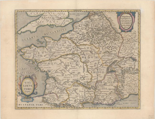
"Galliae Veteris Typus", Jansson, Jan
Subject: France
Period: 1644 (circa)
Publication: Nouvel Atlas ou Theatre du Monde
Color: Hand Color
Size:
19.2 x 15.3 inches
48.8 x 38.9 cm
Download High Resolution Image
(or just click on image to launch the Zoom viewer)
(or just click on image to launch the Zoom viewer)