Catalog Archive
Auction 190, Lot 340

"Westmorland", Morden, Robert

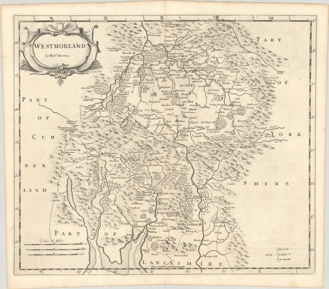
Subject: Northern England

Period: 1695 (circa)

Publication: Britannia

Color: Black & White

Size:
16.6 x 14.3 inches
42.2 x 36.3 cm
Download High Resolution Image
(or just click on image to launch the Zoom viewer)

A handsome map of Westmorland, a historic county in northern England now administered by Cumbria. Towns, roads, rivers, mountains, and forested areas are well depicted. The map locates Kendal, Penrith, Kirkby Lonsdale, Ambleside, Kirky Steven, and Abaliaba, as well as many smaller villages. The map is adorned with a strapwork title cartouche. Sold by Abel Swale, Awnsham & John Churchill.

Morden was one of the first English cartographers to show longitudes measured from the meridian of St. Paul's Cathedral (shown in degrees at the bottom of the map) and time in minutes measure locally from the sun (shown at the top in Roman numerals). The roads on his maps are based on Ogilby's earlier survey. The Britannia was first published by historian William Camden (1551-1623) in 1586. After the publication of the final edition of Britannia in 1637, the work was not published again until 1695 when Gibson revised and translated the text from the original Latin. He included fifty maps, mostly of the English counties, prepared by Robert Morden, replacing the outdated maps of Christopher Saxton.

References: Shirley (BL Atlases) T.CAMD-5a.

Condition: A

A crisp impression on watermarked paper with minor offsetting and a "Forbes Library, Northampton, Mass." library stamp on verso.

Estimate: $120 - $150

Sold for: $40

Closed on 11/16/2022

Archived