Catalog Archive
Auction 190, Lot 336
"Carte des Isles Britanniques, Contenant les Royaumes d'Angleterre, d'Ecosse et d'Irlande", Bonne, Rigobert
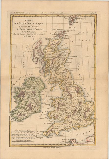
Subject: Britain
Period: 1780 (circa)
Publication: Atlas de Toutes les Parties Connues du Globe Terrestre
Color: Hand Color
Size:
8.3 x 12.5 inches
21.1 x 31.8 cm
Download High Resolution Image
(or just click on image to launch the Zoom viewer)
(or just click on image to launch the Zoom viewer)