Catalog Archive
Auction 190, Lot 224
"[Martha’s Vineyard] Massachusetts. Atlas Plate No. 11", Walker, George H. & Co.
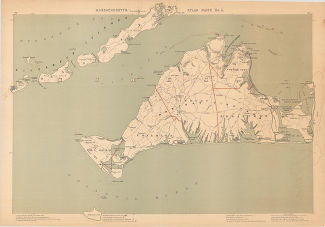
Subject: Martha's Vineyard, Massachusetts
Period: 1891 (dated)
Publication: Atlas of Massachusetts
Color: Printed Color
Size:
28.3 x 19.8 inches
71.9 x 50.3 cm
Download High Resolution Image
(or just click on image to launch the Zoom viewer)
(or just click on image to launch the Zoom viewer)