Catalog Archive
Auction 189, Lot 98

"Amerique Septentrionale", Tardieu, Ambroise

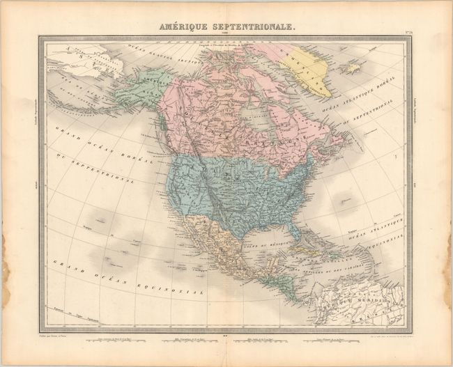
Subject: North America

Period: 1863 (published)

Publication: Atlas Universel de Geographie Ancienne et Moderne...

Color: Hand Color

Size:
16.9 x 13.5 inches
42.9 x 34.3 cm
Download High Resolution Image
(or just click on image to launch the Zoom viewer)

This French atlas map depicts the continent as it was in the early 1850s. The United States-Mexico border predates the Gadsen Treaty and runs along the Gila River. New Mexico Territory appears northwest of Texas, and there is a large Oregon Territory in the Pacific Northwest. The rest of the West is California. Mormonfort is located on the shore of the Great Salt Lake. Numerous Indian tribes are identified throughout the map. Alaska is Amerique Russe. Surrounded by a decorative keyboard-style border. Published by Furne. The map was published in a beautiful (but decidedly out-of-date) French atlas in 1863.

References: Rumsey #4697.028.

Condition: A

Contemporary color on a sheet with dampstains in the left and right blank margins and a short centerfold separation confined to the bottom blank margin.

Estimate: $160 - $190

Sold for: $120

Closed on 9/14/2022

Archived