Catalog Archive
Auction 189, Lot 620
"Carte des Cotes de Malabar et de Coromandel Presentee au Roy", Delisle/Covens & Mortier
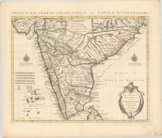
Subject: India
Period: 1730 (circa)
Publication:
Color: Hand Color
Size:
22.4 x 17.3 inches
56.9 x 43.9 cm
Download High Resolution Image
(or just click on image to launch the Zoom viewer)
(or just click on image to launch the Zoom viewer)