Catalog Archive
Auction 189, Lot 540
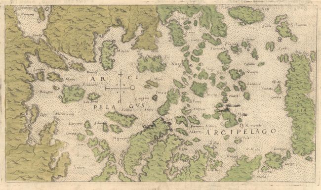
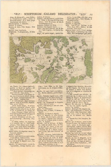
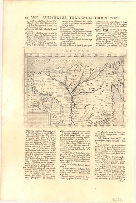
"Arcipelagus Arcipelago [on verso] Aegyptus", Lasor a Varea, Alphonsus
1 of 3
Subject: Aegean Sea & Egpyt
Period: 1713 (published)
Publication: Universus Terrarum Orbis
Color: Hand Color
Size:
6.8 x 3.9 inches
17.3 x 9.9 cm
Download High Resolution Image
(or just click on image to launch the Zoom viewer)
(or just click on image to launch the Zoom viewer)