Catalog Archive
Auction 189, Lot 474
"Nouvelle Carte de l'Empire Divise Selon ses Differents Etats: avec des Tables pour Trouver Facilement les Etats de Chaque Prince par les Lettres Alphabetiques", Chatelain, Henry Abraham
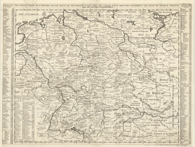
Subject: Germany
Period: 1720 (circa)
Publication: Atlas Historique
Color: Black & White
Size:
24.4 x 18.1 inches
62 x 46 cm
Download High Resolution Image
(or just click on image to launch the Zoom viewer)
(or just click on image to launch the Zoom viewer)