Catalog Archive
Auction 189, Lot 302
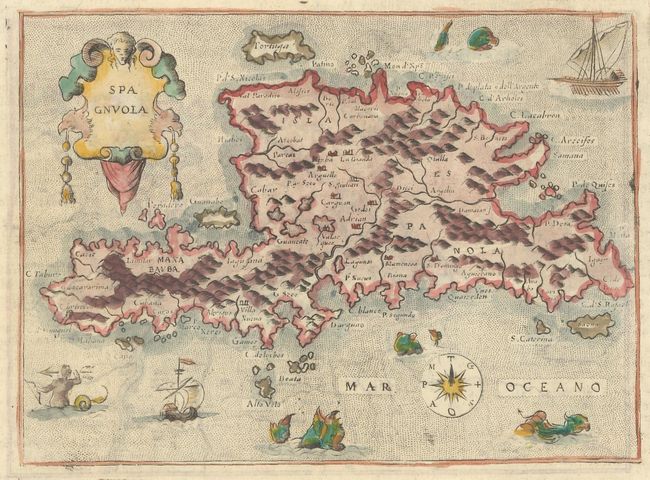
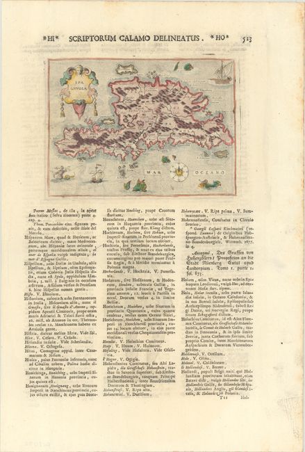
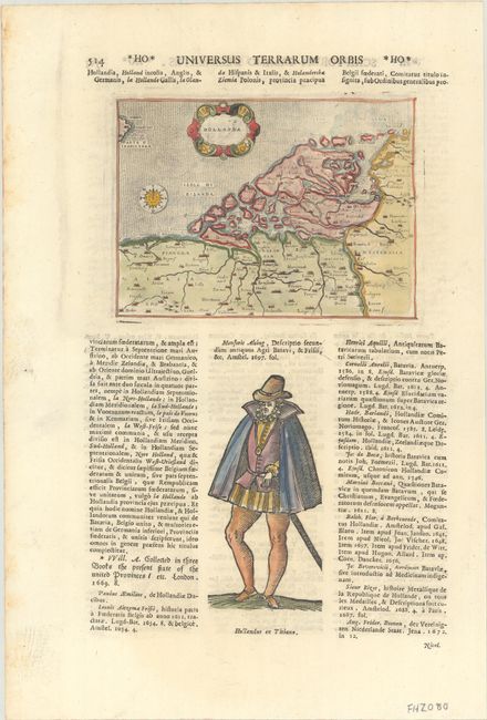
"Spagnuola [on verso] Hollanda", Lasor a Varea, Alphonsus
1 of 3
Subject: Hispaniola; Netherlands
Period: 1713 (published)
Publication: Universus Terrarum Orbis
Color: Hand Color
Size:
5.7 x 4.1 inches
14.5 x 10.4 cm
Download High Resolution Image
(or just click on image to launch the Zoom viewer)
(or just click on image to launch the Zoom viewer)