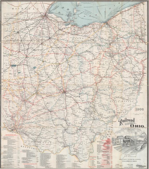
This large railroad map was prepared under the direction of J.C. Morris, Commissioner of Railroads and Telegraphs. It names railroads operating in the state, electric railways, state institutions, telegraph companies, express companies, and sleeping car companies (there is only one: Pullman). Towns , county seats, canals, coal lands, and tunnels are indicated as well. The pictorial cartouche features a vignette of a railroad locomotive and cars. Counties colored in outline. The map is mounted on linen, as issued. Published in Columbus by the Columbus Lithograph Co.
References: cf. Modelski #287.
Condition: B
Issued folding with moderate dampstaining, light soiling, and short splits at some of the fold intersections. Margins trimmed to neatline, as issued.