Catalog Archive
Auction 189, Lot 231
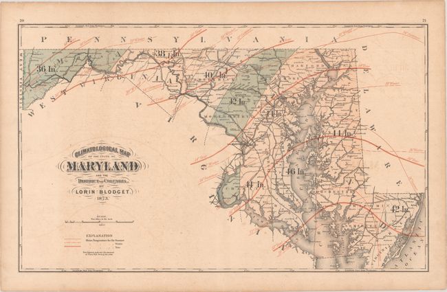
"Climatological Map of the State of Maryland and the District of Columbia"
Subject: Maryland & Washington, D.C.
Period: 1873 (dated)
Publication: New Topographical Atlas of the State of Maryland and the District of Columbia
Color: Printed Color
Size:
24.4 x 14.8 inches
62 x 37.6 cm
Download High Resolution Image
(or just click on image to launch the Zoom viewer)
(or just click on image to launch the Zoom viewer)