Catalog Archive
Auction 188, Lot 98
"Carte du Cours du Fleuve de Saint Laurent Depuis la Mer Jusqu'a Quebec, en Deux Feuilles Dressee au Depost des Cartes de la Marine ... IIe. Feuille", Bellin, Jacques Nicolas
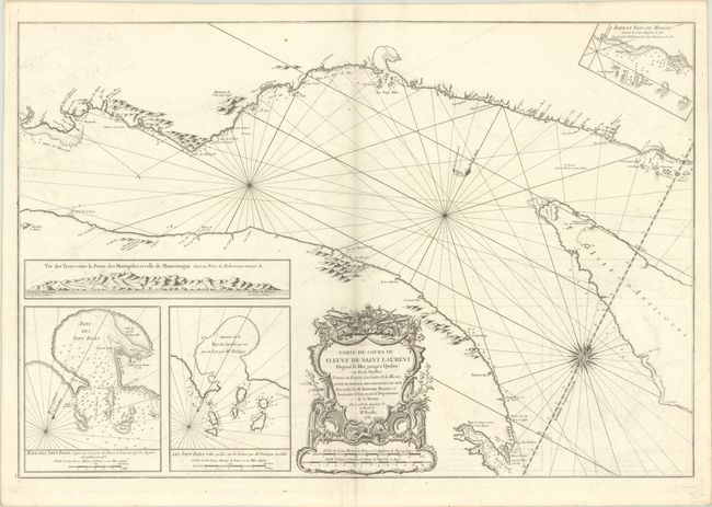
Subject: St. Lawrence River, Canada
Period: 1761 (dated)
Publication: Hydrographie Francoise
Color: Black & White
Size:
33.1 x 22.4 inches
84.1 x 56.9 cm
Download High Resolution Image
(or just click on image to launch the Zoom viewer)
(or just click on image to launch the Zoom viewer)