Catalog Archive
Auction 188, Lot 90

"La Parte Occidentale della Nuova Francia o Canada", Zatta, Antonio

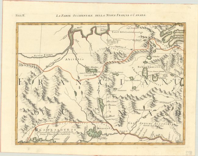
Subject: Eastern Canada

Period: 1778 (circa)

Publication: Atlante Novissimo

Color: Hand Color

Size:
16.6 x 12.2 inches
42.2 x 31 cm
Download High Resolution Image
(or just click on image to launch the Zoom viewer)

This is an important map of the region between James Bay, Lake Mistassini (Lac Mistassine), Lake Huron and Montreal (named in the lower right as Monreal. The map is actually one of twelve sections comprising the Italian version of Mitchell's landmark map of North America. This Italian edition is richly illustrated with annotations not found on the English version. It includes remarkable detail regarding towns, roads, rivers and mountains. The boundary of the Six Nations is prominently shown.

References: Kershaw #981; Portinaro & Knirsch #145; Sellers and Van Ee #163; Shirley (BL Atlases) T.ZAT-1, Vol 4 #29.

Condition: A

A sharp impression with contemporary outline color on a sheet with a three crescent moons watermark.

Estimate: $140 - $170

Sold for: $70

Closed on 6/22/2022

Archived