Catalog Archive
Auction 188, Lot 796

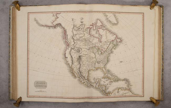
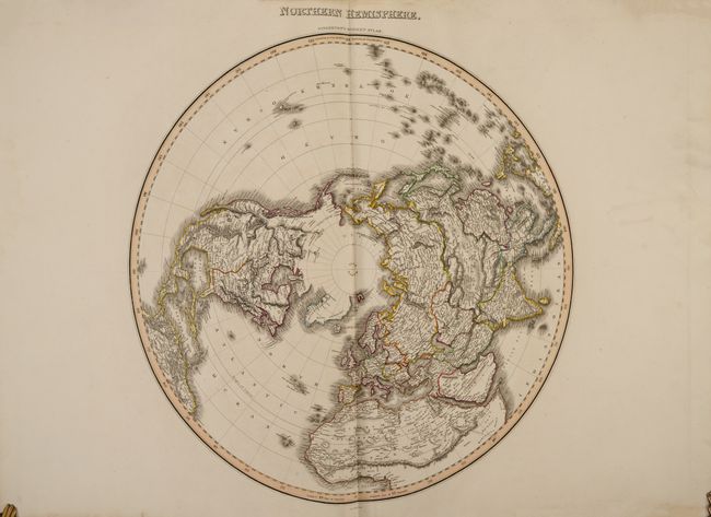
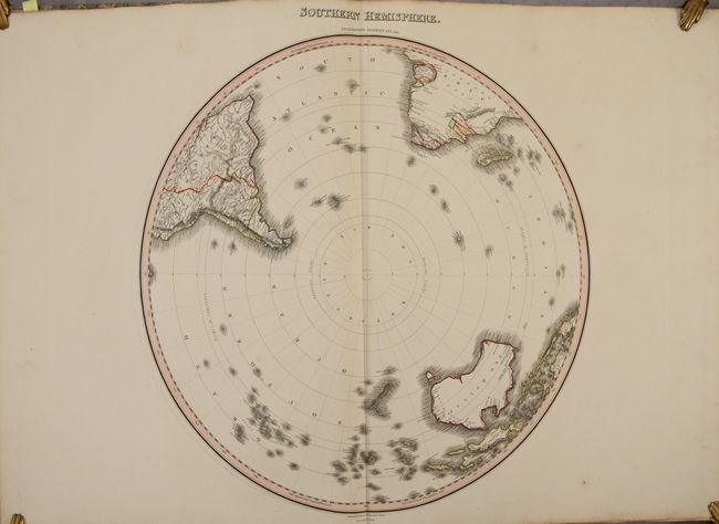
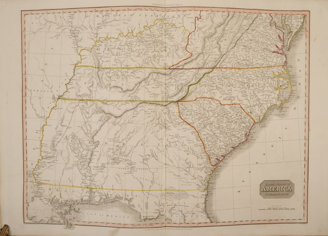
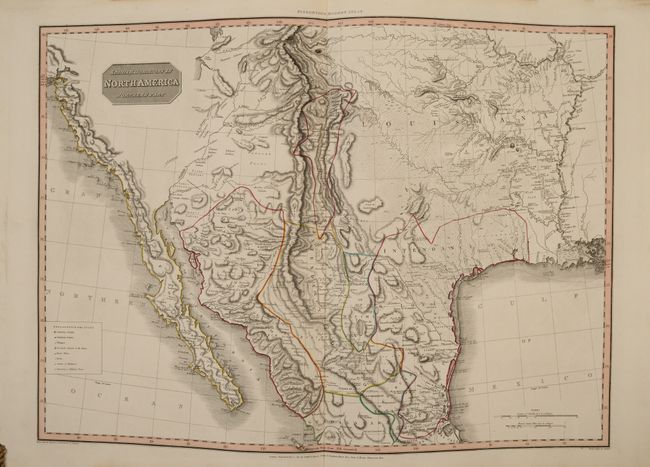
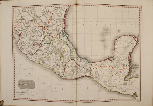
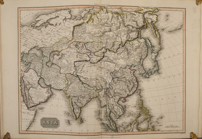
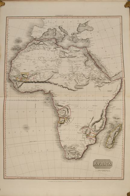
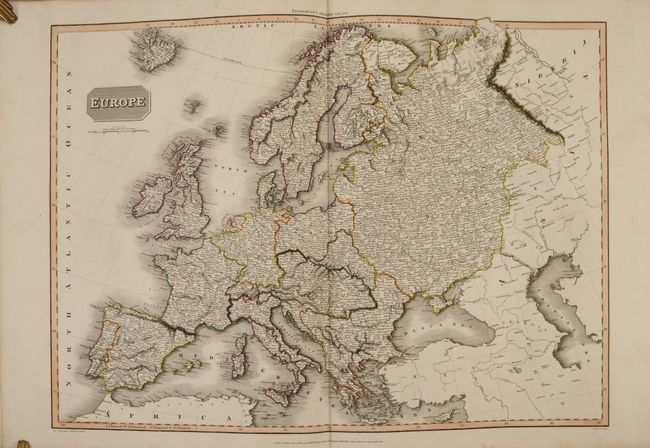
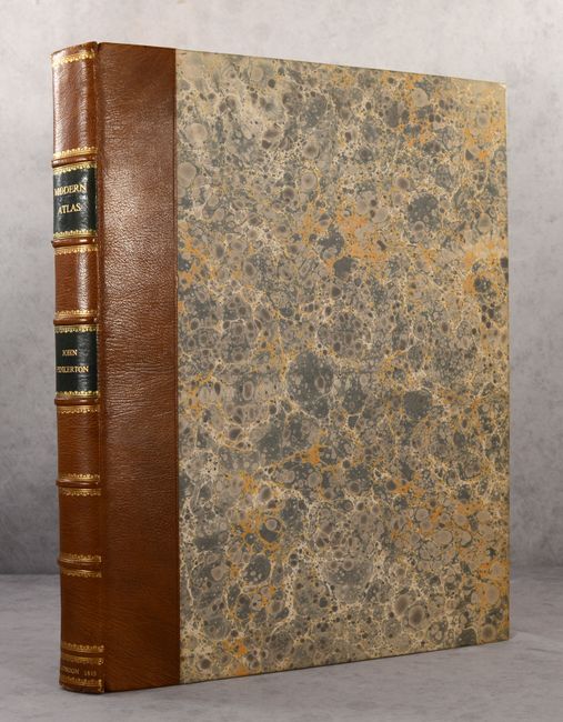
Gorgeous Example of Pinkerton's Magnificent Elephant Folio Atlas

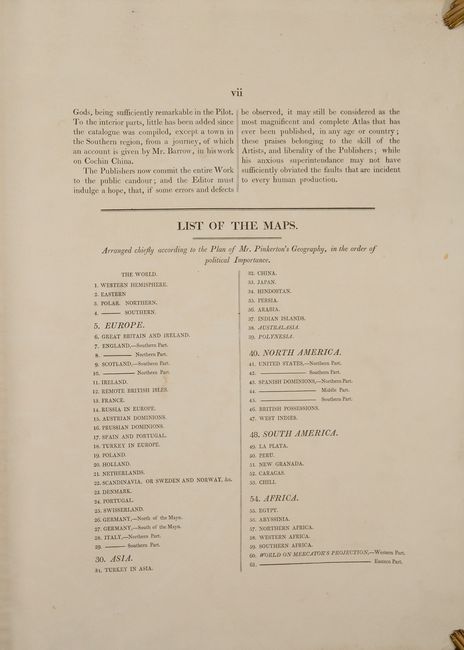
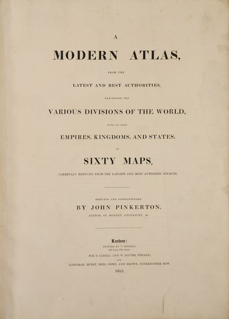
"A Modern Atlas, from the Latest and Best Authorities, Exhibiting the Various Divisions of the World, with Its Chief Empires, Kingdoms, and States, in Sixty Maps, Carefully Reduced from the Largest and Most Authentic Sources", Pinkerton, John

Subject: Atlases

Period: 1815 (published)

Publication:

Color: Hand Color

Size:
18 x 22.8 inches
45.7 x 57.9 cm
Download High Resolution Image
(or just click on image to launch the Zoom viewer)

This first edition atlas contains 61 large, double-page, highly detailed maps individually tipped in with backstraps. This was Pinkerton's only atlas title and includes maps of the world (6), Europe (25), Asia (10), North America (8), South America (6) and Africa (6). Please consult the images for the complete list of map titles. Of particular interest are the following:

Spanish Dominions in North America Northern Part. This large, handsome map is based largely on Humboldt's map of Mexico, including the graphic representation of the Rocky Mountains and Rio Grande River valley. The map presents a remarkable, emerging picture of the major watersheds originating in the Rocky Mountains - a area long misrepresented on maps of the region. On the western slope, the headwaters of the Colorado are formed and the erroneous Sr. de S. Buenaventura flows into a partially shown Salt Lake. On the eastern part of the map the Platte, Arkansas and Red Rivers are all delineated in great detail, and the course of the R. Bravo or Del Norte (Rio Grande) is equally well presented with mountains depicted by hachures in orthographic projection. Further south, the mouth of the Gila is inaccurately placed in the Gulf of California. The map also presents early information in Texas, which is within the Intendency of S Louis. The Pres. de Bejar, Capitol of the Province of Texas is located, as is the settlement of La Salle in 1683, and the Presidio of Nacogdoch. The map is also filled with information on Indian tribes, mines, farms, missions, military posts, roads and Stations of Muleteers.

United States of America Southern Part. An interesting map of the southern states, excluding southern Florida. The map shows Virginia, the Carolinas, Kentucky, Tennessee and a very large Georgia Territory. Georgia stretches from the Atlantic coast to the Mississippi, including what would become portions of Mississippi and Alabama, with the coastal areas of those states included in West Florida. The map includes extensive information on the native tribes of the region with locations of villages and hunting grounds.

Northern Hemisphere [and] Southern Hemisphere. The northern hemispheric map is centered on the North Pole and shows the latest discoveries in the Arctic. Several partially drawn coastal details with notations: "Coast discovered by the Hunters of Merch Linkhov", "the Sea Seen by Mr. Mackenzie in 1789", and "the Sea Seen by Mr. Hearne in 1771." The northern coastlines of North America and Greenland are left open-ended. Terrific detail within the continents with hundreds of place names and much information on watershed and topography. The map extends south to the Equator. The Southern hemisphere map shows all of New Zealand, Australia (New Holland), Papua New Guinea, and Madagascar. It extends north to the Equator, showing the Amazon River in South America and above the Congo region in Africa. The Antarctic region is completely blank with the Lord Aucklands Group noted as the furthest south islands.

In addition to the maps is a seven-page introduction in which the publisher rationalizes the "enormous expense" to compile the atlas and notes that geography is so universally pleasing that it has "been taught even to females, whose pursuits are foreign from serious researches."

Maps engraved by Samuel Neele. Printed by T. Beasley in London for T. Cadell and W. Davies on the Strand as well as Longman, Hurst, Rees, Orme and Brown at Paternoster Row. The maps are contained within a beautiful modern binding: quarter calf over marbled boards with raised bands and gilt titling on spine and new endpapers.

References: Phillips (Atlases) #724.

Condition: A

The maps are incredibly clean and bright with contemporary outline color. There is some marginal soiling, occasional minor color offsetting, and a small damp stain in the last quarter of the atlas confined to the bottom blank margin and far from the map images. The map of Persia has an long extraneous crease adjacent to the centerfold and the map of the Eastern Part of the World has some minor tissue repairs in the blank margins. Modern binding is fine.

Estimate: $8,000 - $9,500

Sold for: $6,000

Closed on 6/22/2022

Archived