Catalog Archive
Auction 188, Lot 795

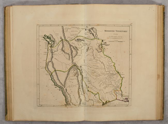
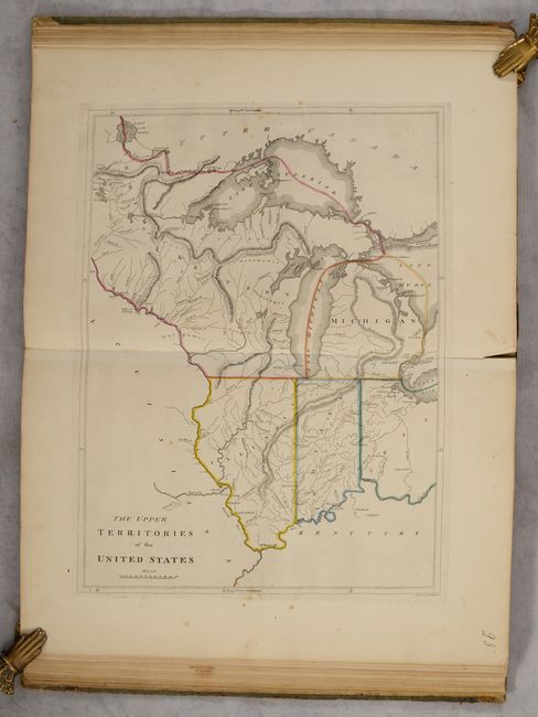
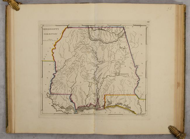
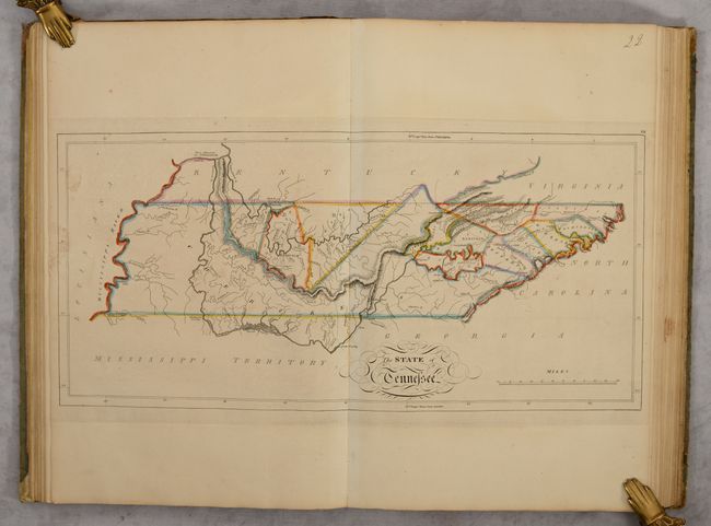
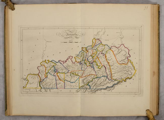
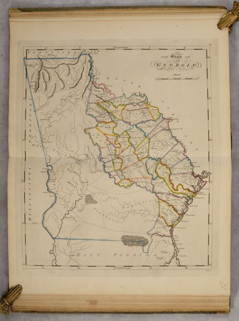
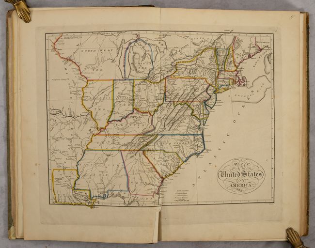
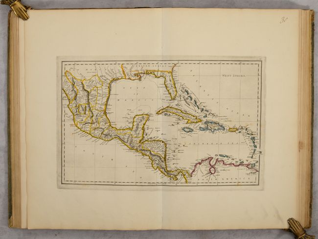
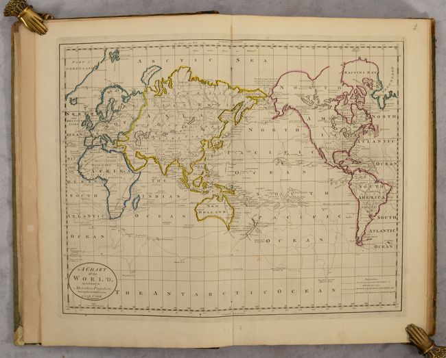
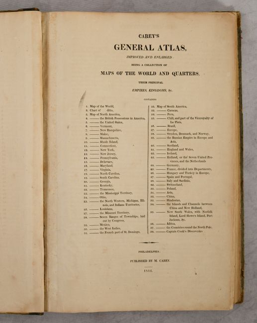
Carey's Famous 1814 General Atlas

"Carey's General Atlas, Improved and Enlarged: Being a Collection of Maps of the World and Quarters, Their Principal Empires, Kingdoms, &c.", Carey, Mathew

Subject: Atlases

Period: 1814 (published)

Publication:

Color: Hand Color

Size:
11.6 x 17.2 inches
29.5 x 43.7 cm
Download High Resolution Image
(or just click on image to launch the Zoom viewer)

This is the highly sought after 1814 edition of Carey’s General Atlas, and the first edition to use standard outline hand color. Carey first published the General Atlas in 1796 with several updates through the early 19th century, but it wasn’t until the 1814 edition that the plates went through a major revision. This revision included updates based upon the discoveries of Lewis & Clark, and features many important engravings west of the Appalachian mountains including The State of Tennessee, Mississippi Territory, Louisiana, and Missouri Territory Formerly Louisiana. This example contains 56 of the 58 issued maps, missing one of the world maps and map of North America.

Cartographically, the map of Tennessee shows the state at an early point in its development with only twelve organized counties in the Mero and Washington Districts. The majority of the state is shown to be Cherokee tribal territory. The map depicts a few settlements, forts, trails, and roads, two of which venture out into Cherokee country toward the Tennessee River. The map of Louisiana is one of the earliest large format maps of the state to appear in a commercial atlas. There is very little development except along the Mississippi River. Further to the west is one of the earliest depictions of Missouri Territory, which was organized in 1812. It was published in the same year as Lewis & Clark's foundation map, and incorporates many of the new discoveries from that expedition along the Upper Missouri and Columbia rivers. The map notes a "probable" northern boundary from Puget Sound to Lake of the Woods, and a "probable" southern boundary extending from San Francisco Bay to the headwaters of the Rio Grande and then southeast to Galveston Bay.

The Upper Territories of the United States shows the new territories that had been created from the original Northwestern Territory - Ohio, Michigan, Indiana, Illinois and the remainder of Northwest Territory (Wisconsin and Minnesota). It shows Chicago in the Northwestern Territory, as the northern Illinois border is shown south of the present-day boundary without touching Lake Michigan. The spurious Phillipeaux Island still persists in Lake Superior. There is excellent detail of the Mississippi River and above to the Lake of the Woods. Detroit is shown with its Canadian neighbor, Windsor, named Sandwich. Numerous frontier forts and Indian villages are located, but much of the territory still appears unsettled. The apocryphal mountain ridges wind through much of the map.

Mathew Carey was a seminal figure in early American publishing, establishing the first publishing firm to specialize in cartography and issuing the first atlas devoted exclusively to American maps. He set up an elaborate cottage system of craftsmen for compiling, engraving, printing, and coloring maps. This practice was emulated by later American cartographic publishers such as John Melish and Henry S. Tanner. The American Atlas concept was also adopted by other publishers in both the United States and Europe.

Folio, hardbound in quarter leather over green paper boards.

References: Phillips (Atlases) #722; Sabin #10858; Ristow pp. 151-153.

Condition: B+

Condition code is for the maps, which have contemporary outline color and range from good to fine, with the majority being very good to near fine. The exception is the map of New York, which is almost completely separated along the centerfold with a 5" edge tear at left (C+ but repairable). <b>The important maps of the Trans-Appalachian west are remarkable clean, bright and near fine to fine.</b> The following maps have lower centerfold separations: United States (3"), Europe (5.5"), Ireland (6.5"), France (4"), and Asia (2.75"), World (lower blank margin), Virginia (lower blank magin), Upper Territories of the U.S. (upper blank margin). The maps that have more noticeable foxing include: Vermont, Michigan, Scandinavia, England, Netherlands, Italy, and Pacific Ocean. There are other minor areas of foxing, offsetting, and imperfections in the margins not specifically called out. Covers are heavily worn and stained with bumped corners. Spine is rubbed but stable.

Estimate: $7,000 - $8,500

Sold for: $4,000

Closed on 6/22/2022

Archived