Catalog Archive
Auction 188, Lot 788

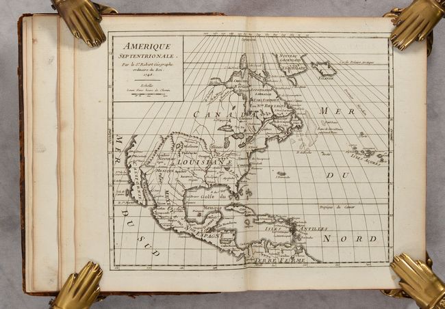
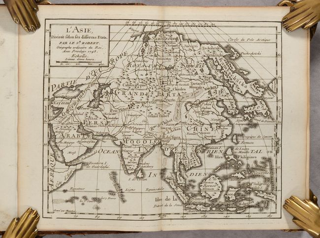
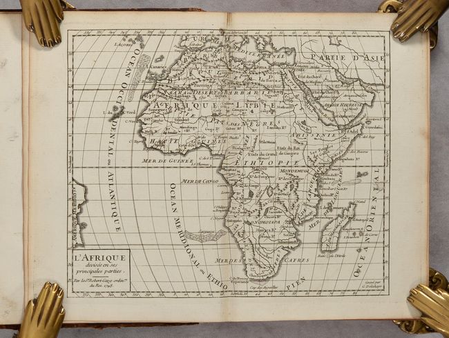
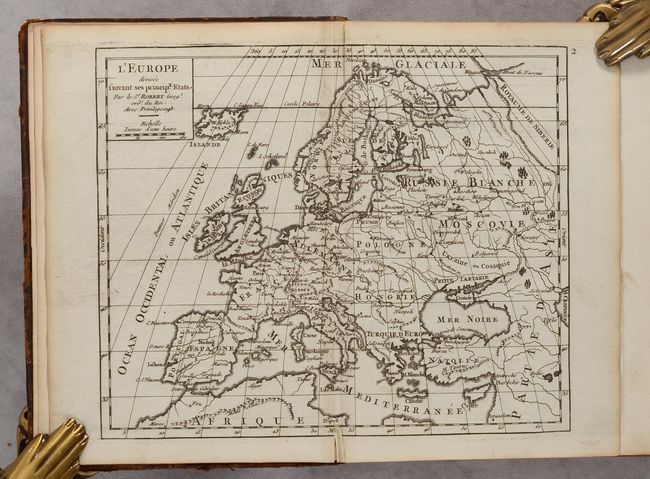
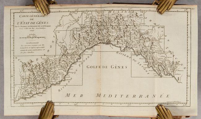
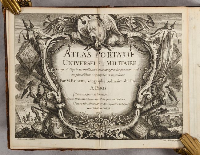
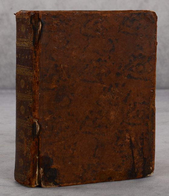
"Atlas Portatif, Universel et Militaire, Compose d'Apres les Meilleures Cartes, tant Gravees que Manuscrites...", Robert de Vaugondy

Subject: Atlases

Period: 1748 (published)

Publication:

Color: Black & White

Size:
5.6 x 7.5 inches
14.2 x 19.1 cm
Download High Resolution Image
(or just click on image to launch the Zoom viewer)

A beautiful atlas containing 120 (out of 129) maps, including a folding map of northern Italy. The atlas begins with maps of the continents of Europe, Asia, Africa, North America, and South America. The remainder of the atlas focuses on various regions throughout Europe with particular emphasis on France, Italy, Germany, and the Low Countries. The maps are by both Gilles Robert and his son Didier Robert de Vaugondy and were made in a consistent format to be compiled into Gilles Robert's first comprehensive atlas. The missing maps are those of the world, three regional maps of France, Low Countries, Flanders, Corsica, Turkey, and a thematic map showing the "use of maps." Includes a beautifully engraved military-themed title page by Delahaye. A list of maps is included at the end of the volume, although the first page of the list is missing. 12mo., hardbound in full contemporary leather with gilt decorations and title label on spine and marbled endpapers.

References: Pedley, pp. 30-31, 220-225.

Condition: A

The maps are generally clean and bright with nice impressions, with an occasional minor spot or paper flaw. The map of Europe has a 2" tear at top center, and a few maps have tiny centerfold separations at top or bottom. The covers are quite worn and soiled and are beginning to detach from the spine, which has some chips and cracks.

Estimate: $1,200 - $1,500

Sold for: $1,100

Closed on 6/22/2022

Archived