Catalog Archive
Auction 188, Lot 666
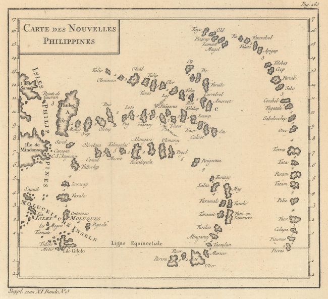
"Carte des Nouvelles Philippines", Bellin, Jacques Nicolas
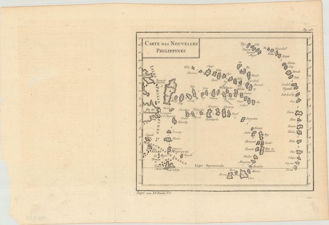
1 of 2
Subject: Philippines
Period: 1754 (circa)
Publication: Petit Atlas Maritime
Color: Black & White
Size:
8.1 x 7.3 inches
20.6 x 18.5 cm
Download High Resolution Image
(or just click on image to launch the Zoom viewer)
(or just click on image to launch the Zoom viewer)