Catalog Archive
Auction 188, Lot 575
"Corsica", Ortelius, Abraham
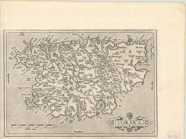
Subject: Corsica
Period: 1573 (circa)
Publication: Theatrum Orbis Terrarum
Color: Black & White
Size:
9.3 x 6.5 inches
23.6 x 16.5 cm
Download High Resolution Image
(or just click on image to launch the Zoom viewer)
(or just click on image to launch the Zoom viewer)