Catalog Archive
Auction 188, Lot 443
"Pictaviae Ducatus Descriptio, Vulgo le Pais de Poictou", Jansson, Jan
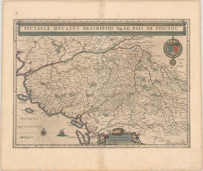
Subject: Western France
Period: 1646 (circa)
Publication: Novus Atlas...
Color: Hand Color
Size:
20.4 x 14.9 inches
51.8 x 37.8 cm
Download High Resolution Image
(or just click on image to launch the Zoom viewer)
(or just click on image to launch the Zoom viewer)