Catalog Archive
Auction 188, Lot 411
"Li Palatinati di Wilna, Troki, Inflant, coi Ducati di Kurlandiae Smudz. Tratta dall' Atlante Polacco del Sigr. Rizzi Zanoni", Zatta, Antonio
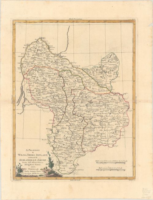
Subject: Baltic, Latvia & Lithuania
Period: 1781 (dated)
Publication: Atlante Novissimo
Color: Hand Color
Size:
12.3 x 15.9 inches
31.2 x 40.4 cm
Download High Resolution Image
(or just click on image to launch the Zoom viewer)
(or just click on image to launch the Zoom viewer)