Catalog Archive
Auction 188, Lot 380

"Angliae Regnum tam in Septem Antiqua Anglo-Saxonum Regna quam in Omnes Hodiernas Regiones Accuratissime Distinctum", Visscher, Nicolas

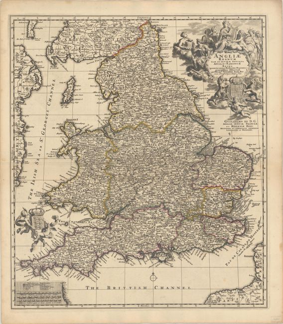
Subject: England & Wales

Period: 1694 (circa)

Publication:

Color: Hand Color

Size:
19.3 x 22.1 inches
49 x 56.1 cm
Download High Resolution Image
(or just click on image to launch the Zoom viewer)

Nicolas Visscher II's sumptuous map of England and Wales is a fascinating blend between a historical and modern map. It divides the region into the Anglo-Saxon kingdoms but also depicts the contemporary counties. The map is dense with the names of towns and cities, with post roads delineated throughout. At top right there is an elaborate title cartouche with several allegorical figures flocked around St. Cecilia and her lyre; below is the royal arms and a dedication to William III. The signatures of designer Philipp Tiedeman and engraver Gelliam van den Gouwen appear within the cartouche. Another cartouche at bottom left includes a key and three distance scales, and two putti hoist the royal arms of England at left. This fine map was later copied by Homann.

References: Shirley (BI to 1750) Visscher 3, state 1.

Condition: A

A dark impression on double-thick paper with a tiny tear along the centerfold that has been repaired with archival materials on verso.

Estimate: $400 - $475

Sold for: $250

Closed on 6/22/2022

Archived