Catalog Archive
Auction 188, Lot 360

"Insularum Britannicarum Acurata Delineatio ex Geographicis Conatibus Abrahami Ortelii", Kaerius/Jansson
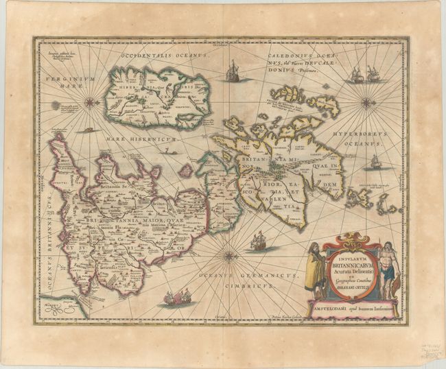
Subject: Britain

Period: 1646 (circa)

Publication: Atlas Novus

Color: Hand Color

Size:
20.1 x 15.4 inches
51.1 x 39.1 cm
Download High Resolution Image
(or just click on image to launch the Zoom viewer)

The seas are filled with sailing ships, sea monsters, and compass roses on this handsome map of the British Isles, with north oriented to the right. This is Jansson's historical map of the British Isles after Abraham Ortelius, crisply engraved by Petrus Kaerius. Hadrian's Wall stands as a major feature separating Scotland from England, and the Antonine Wall is noted across the central part of England as well. The interior of the map is filled with place names and charming, pictorial topography. The map is further embellished with a large and decorative title cartouche flanked by a Briton and a Celt. This is the second state with the addition of three compass roses and radiating rhumb lines. Latin text on verso, published 1646-59.

References: Shirley (BI to 1650) #466; Van der Krogt (Vol. I) #5000H:1A; Phillips (A) #3427.

Condition: B+

A crisp impression with contemporary color on a sheet with light uneven toning and a soft horizontal crease across the middle of the map. There is a centerfold separation confined to the top blank margin.

Estimate: $350 - $425

Sold for: $180

Closed on 6/22/2022

Archived