Catalog Archive
Auction 188, Lot 355

NO RESERVE

"A New & Accurate Map, of Europe, from the Sieur Robert's Atlas, with Improvements", Gibson, John
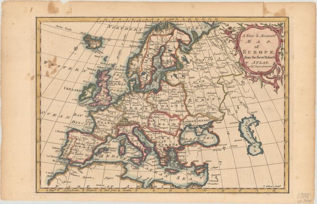
Subject: Europe

Period: 1764 (circa)

Publication: A New System of Geography...

Color: Hand Color

Size:
11.4 x 8 inches
29 x 20.3 cm
Download High Resolution Image
(or just click on image to launch the Zoom viewer)

A well-engraved map depicting all of Europe, Iceland, the Mediterranean, and the Barbary Coast. Cities and towns, political boundaries, rivers, and mountain ranges are all shown. Decorated by a floral-themed title cartouche. Published in Daniel Fenning's A New System of Geography.

References: McCorkle (18th C. Geography Books) #104-1 (Volume II).

Condition: B+

There is some staining adjacent to the left border and in the top blank margin. A short edge tear confined to the top blank margin has been closed on verso with archival tape.

Estimate: $80 - $100

Sold for: $37

Closed on 6/22/2022

Archived