Catalog Archive
Auction 188, Lot 313
"Partie Orientale de la Terre Ferme ou l'on Trouve la Guiane. Partie Orientale du Fl. Maragnon ou Amazone Tiree de la Carte de Mr. de la Condamine", Robert de Vaugondy, Didier
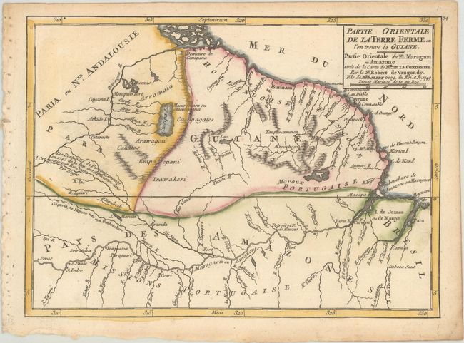
Subject: Guyana, Suriname, French Guiana
Period: 1749 (dated)
Publication: Atlas Portatif Universel et Militaire
Color: Hand Color
Size:
8.8 x 6.4 inches
22.4 x 16.3 cm
Download High Resolution Image
(or just click on image to launch the Zoom viewer)
(or just click on image to launch the Zoom viewer)