Catalog Archive
Auction 188, Lot 309

"Venezuela, cum Parte Australi Novae Andalusiae", Hondius/Blaeu
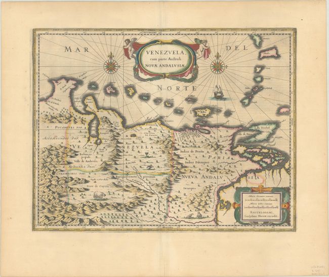
Subject: Venezuela

Period: 1647 (published)

Publication: Novus Atlas

Color: Hand Color

Size:
19.1 x 14.8 inches
48.5 x 37.6 cm
Download High Resolution Image
(or just click on image to launch the Zoom viewer)

This beautifully engraved map based on the cartography of Hessel Gerritsz covers the northern coast of South America, Venezuela, east to the mouth of the Orinoco, and includes the offshore islands from Aruba through Dominica and Tobago. The fine engraving illustrates the mountains, forests, rivers, and indigenous animals but shows place names primarily along the coastlines owing to the relatively few explorations made into the interior. The map is richly embellished with title and distance scale cartouches, compass roses, and a galleon. Using the plate bought from Jodocus Hondius' widow in 1629, Blaeu changed the imprint and issued this map along with several other American maps from about 1630 to 1672, when fire destroyed the printing house. German text on verso.

References: Van der Krogt (Vol. II) #9830:2.2.

Condition: A

A nice impression with full contemporary color and a hint of toning.

Estimate: $400 - $475

Sold for: $250

Closed on 6/22/2022

Archived