Catalog Archive
Auction 188, Lot 307
"Plan des Villes; Forts, Port, Rade et Environ de Cartagene Situee dans l'Amerique Meridionale dans la Province de Terre Ferme Appartenant aux Espagnols", Fer, Nicolas de
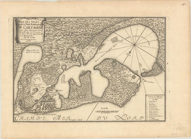
Subject: Cartagena, Colombia
Period: 1705 (dated)
Publication: L'Atlas Curieux ou le Monde...
Color: Black & White
Size:
12.8 x 8.8 inches
32.5 x 22.4 cm
Download High Resolution Image
(or just click on image to launch the Zoom viewer)
(or just click on image to launch the Zoom viewer)