Catalog Archive
Auction 188, Lot 305

"Carte du Cours du Maragnon ou de la Grande Riviere des Amazones dans sa Partie Navigable Depuis Jaen de Bracamoros Jusqu'a son Embouchure et qui Comprend la Province de Quito...", Bellin, Jacques Nicolas

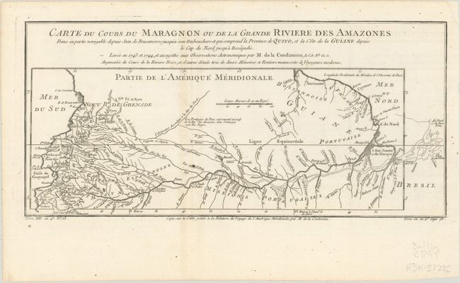
Subject: Amazon River

Period: 1780 (circa)

Publication: La Harpe's Histoire Generale des Voyages

Color: Black & White

Size:
14.9 x 7 inches
37.8 x 17.8 cm
Download High Resolution Image
(or just click on image to launch the Zoom viewer)

This interesting map is usually referred to as "the first scientific map of the Amazon" as it is based on astronomical observations conducted by Charles-Marie de La Condamine, a French explorer, geographer, and mathematician. After traveling to Ecuador in 1735 to test Isaac Newton's hypothesis that the Earth was not a perfect sphere, La Condamine was unable to travel back to France directly due to insufficient funds. Instead, he traveled eastward down the Amazon River from 1743-44, and performed the first scientific exploration of the great river, including notes on how the natives used curare for poison, and introduced rubber trees to Europe. This map depicts the Amazon River from its mouth in the Atlantic west to its tributaries in Colombia, Peru and Ecuador.

References: Mercator's World (May/June 1999) pp. 18-25.

Condition: A

A crisp impression, issued folding on a sheet with a bunch of grapes medallion watermark. There is faint toning along one fold and one small ink spot near bottom center.

Estimate: $80 - $100

Sold for: $60

Closed on 6/22/2022

Archived