Catalog Archive
Auction 188, Lot 2

"[Lot of 5] Planisphaerium Globi Terrestris [and] America [and] Africa [and] Asia [and] Europa", Lotter/Lobeck

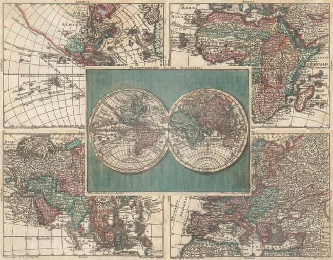
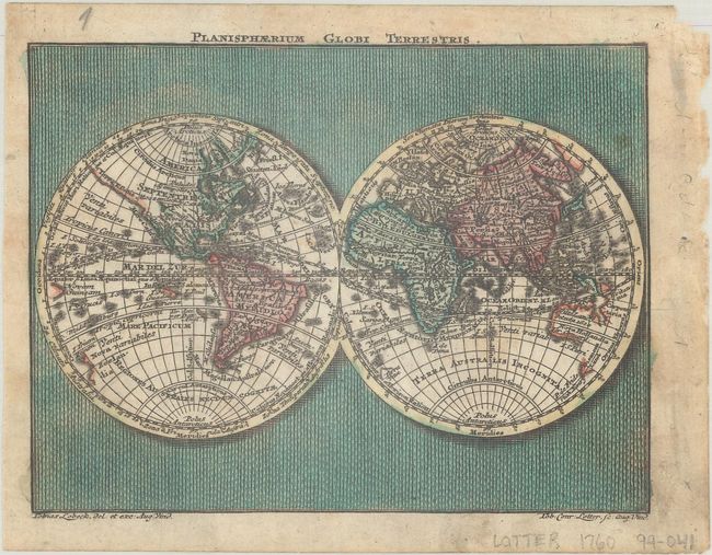
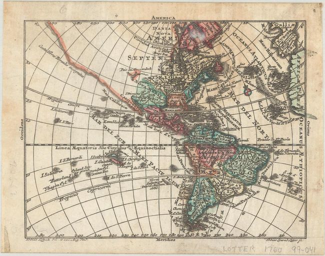
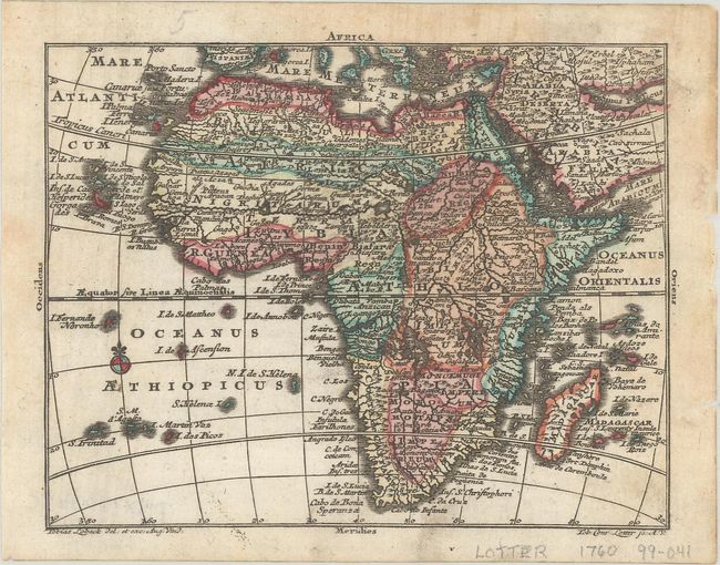
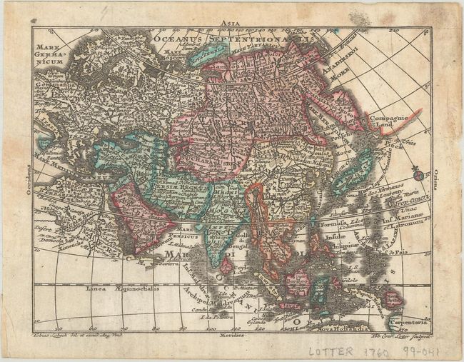
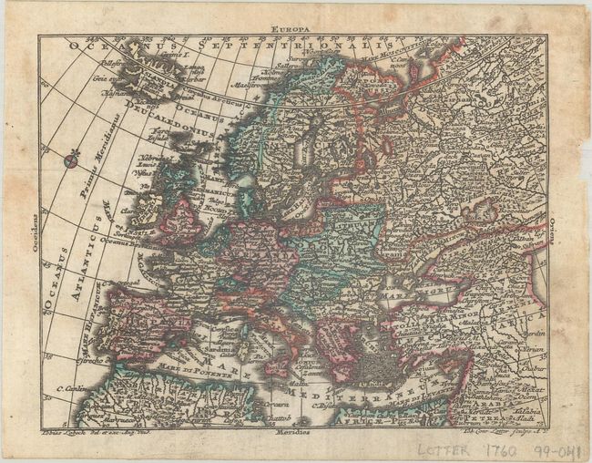
Subject: World & Continents

Period: 1750 (circa)

Publication: Atlas Geographicus Portatilis

Color: Hand Color

Size:
5 x 3.8 inches
12.7 x 9.7 cm
Download High Resolution Image
(or just click on image to launch the Zoom viewer)

Charming set of miniature maps drawn by Tobias Lobeck and engraved by Tobias Conrad Lotter. Each map is minutely engraved with an incredible amount of detail for such small maps-they are almost jewel-like and have some text and details small enough to require a loupe to read.

A. Planisphaerium Globi Terrestris displays a double hemisphere world set in a minutely patterned background.
B. America delineates an expansive northwest coast of North America labeled Costa Terre Borealis incognitae that is completely blank except for a partial inland sea noted Pais du Moozemleck.
C. Africa displays typical spurious interior detail with a mass of interrelated rivers and lakes, showing the source for the Nile as two lakes in South Africa.
D. Asia presents a very up-to-date rendition of the northeast coast, with Iedso (Hokkaido) portrayed as a part of Kamchatka and a remnant of Compagnie Land still shown in the North Pacific.
E. Europa presents a good portion of Asia along with Europe, extending north to Iceland and south to the Barbary Coast of Africa.

References: King (2nd ed.) p. 171.

Condition: B+

Contemporary color with some light soiling and foxing mostly at top right. The map of the Americas has a small tissue repair on recto adjacent to Greenland.

Estimate: $700 - $850

Sold for: $450

Closed on 6/22/2022

Archived