"L'Amerique Meridionale, Suivant les Nouvelles Observations de Messrs. de l'Academie Royale des Sciences, Etc. Augmentees de Nouveau", Aa, Pieter van der
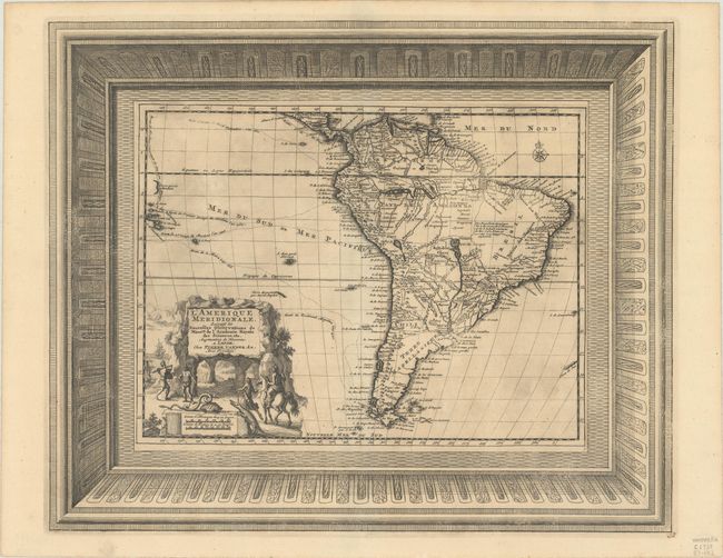
This charming map of the continent shows the routes of explorers in the Pacific, including Magellan, Le Maire, Mendana, and Olivier. A large portion of the interior of Brazil is left blank, with the exception of a note on the rivers in the region and the names of local tribes. The mythical Lac des Xarayes appears centrally. The large figural title cartouche features explorers, natives, a snake, an armadillo, and an alligator. The map is surrounded by an elaborate picture-frame style border, which was printed from a separate plate. Van der Aa's maps with the separately printed frame borders are much more uncommon than the standard editions without these decorative borders.
References:
Condition: B+
A dark impression on a sheet with fleur-de-lis and "IV" watermarks, minor toning, light printer's ink residue, and a couple of spots of foxing.