Catalog Archive
Auction 187, Lot 93

Rare Miniature Map of North America from the First Comprehensive Maritime History

"Americae Septentrionalis Circuitus", Morisot, Claude Barthelemy

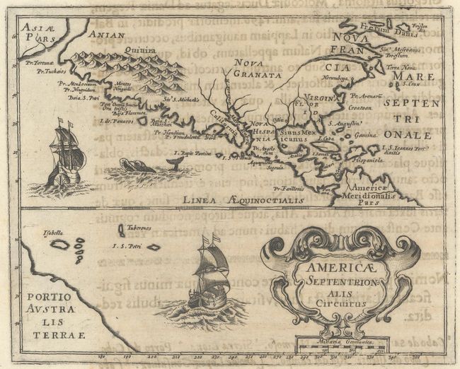
Subject: Colonial North America

Period: 1643 (published)

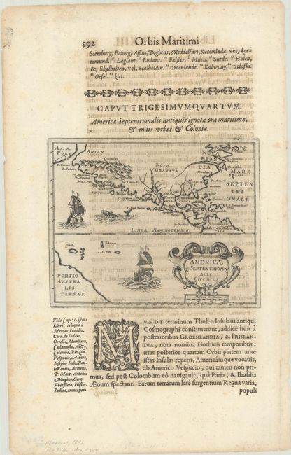
Publication: Orbis Maritimi

Color: Black & White

Size:
6.5 x 5.3 inches
16.5 x 13.5 cm
Download High Resolution Image
(or just click on image to launch the Zoom viewer)

This rare map of North America is based primarily on the work of Hondius and appeared in first comprehensive book on naval and maritime history. The map shows a peninsular California with many place names along the coast, translated from Spanish literally to Latin, resulting in such names as P. Fraudulentu for Cabo Engano, and Montes Niuguidi for the Sierra Nevadas. The bulk of place names are located on the west coast, with just a few names on the east coast, including Norumbega, Pr. Arenaru, and Croatoan. Asiae Pars appears in the North Pacific, and part of the mythical Australis Terrae is shown in the South Pacific. The portion of the map below the equator is filled with a large cartouche, obscuring South America. A pair of beautifully engraved ships and a sea monster decorate the map. The map is printed on a sheet of Latin text (8.8 x 13.9") with text on the verso.

Claude Barthelemy Morisot (1592-1661) was a prominent intellectual of his period, and his works enjoyed great success. Orbis Maritimi is an extensive encyclopedia of everything relating to maritime affairs. The great European expeditions to the coasts of Africa and North America were extensively described. The book contained 44 engraved plates including 23 maps. Later editions did not contain the plates, thus the maps are quite rare.

References: Burden #264; Wagner #348.

Condition: B+

A sharp impression with light toning and show-through of text on verso. There is minor scattered foxing outside the map image.

Estimate: $700 - $850

Sold for: $500

Closed on 4/27/2022

Archived