Catalog Archive
Auction 187, Lot 770

NO RESERVE

"[Lot of 4] Map Collectors' Circle - Nos. 3, 13, 27, & 54",

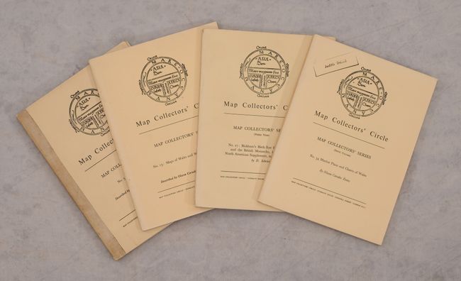
Subject: References, England & Wales

Period: 1963-69 (published)

Publication:

Color: Black & White

Size:
7.3 x 9.8 inches
18.5 x 24.9 cm
Download High Resolution Image
(or just click on image to launch the Zoom viewer)

Map Collectors' Circle contains what is still the broadest reaching series of cartographic bibliographies. The series was initiated, edited, and published by the most highly regarded map expert of the 20th Century, Mr. Ronald V. Tooley.

This lot includes four volumes covering the mapping of England & Wales. Taken together, the volumes list hundreds of maps and feature numerous black & white plates. Volume 3 has stiff paper boards and the other volumes have soft paper covers.

A. No. 13: Maps of Wales and Welsh Cartographers, by Olwen Caradoc Evans, published 1964. Condition: Clean and tight. Light wear to covers. (A)
B. No. 54 Marine Plans and Charts of Wales, by Olwen Caradoc Evans, published 1969. Condition: Clean and tight. Light wear to covers with a previous owner's stamp on the front cover. (A)
C. No. 3: The Isles of Scilly, by Margaret Palmer, published 1963. Condition: Numerous pencil notations in the contents. Light wear to covers. (B+)
D. No. 27: Bickham's Birds Eye County Views and the British Monarchy, Including the North American Supplement, in Full Reproduction, by D. Schrire, published 1966. Condition: Clean and tight. Light wear to covers. (A)

References:

Condition:

See description above.

Estimate: $35 - $45

Sold for: $16

Closed on 4/27/2022

Archived