Catalog Archive
Auction 187, Lot 735

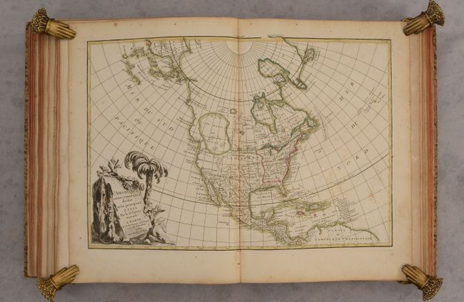
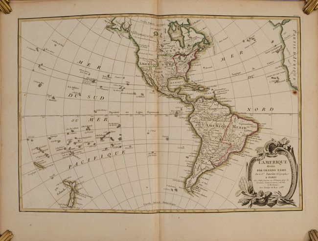
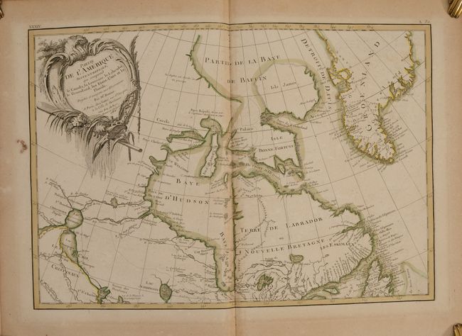
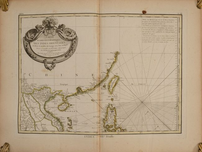
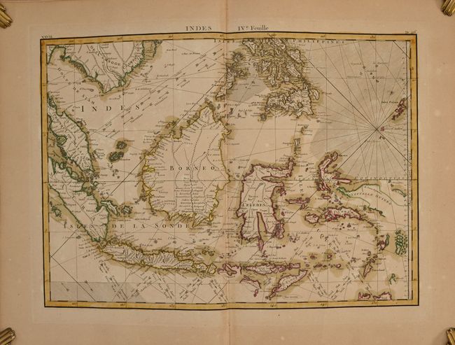
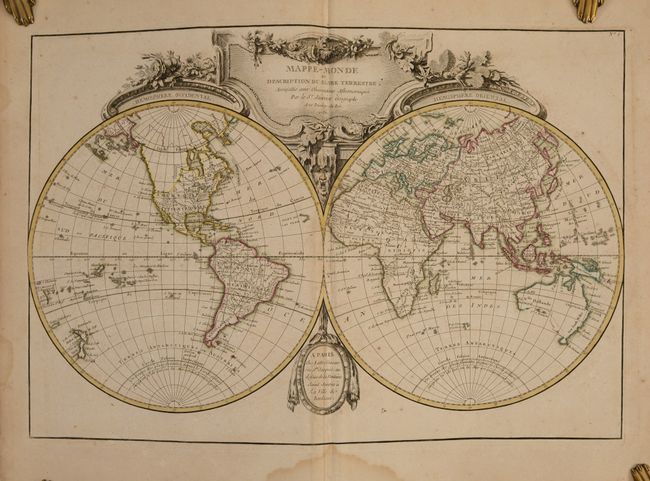
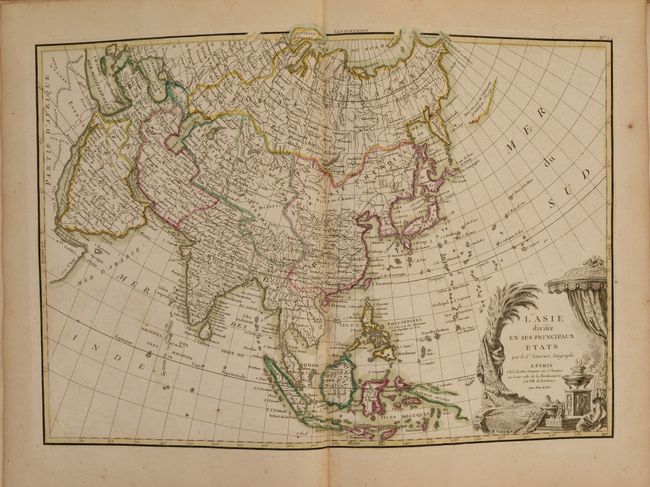
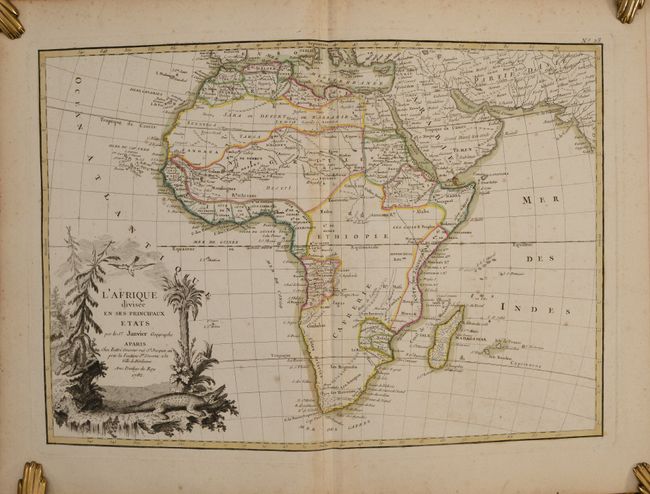
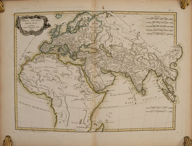
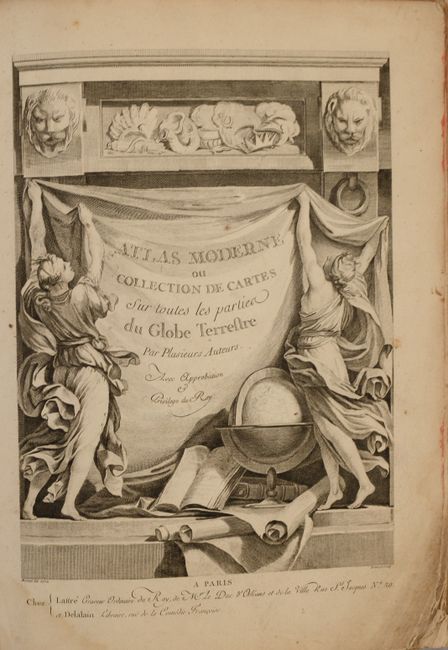
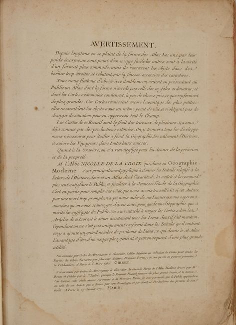
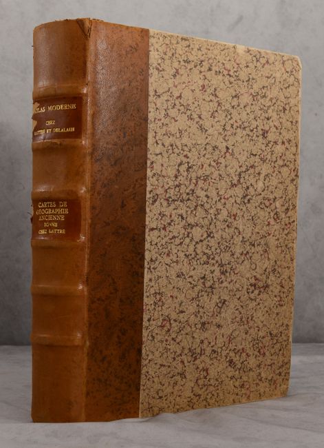
Two Complete Atlases in One Volume with 91 Maps in Contemporary Color

"Atlas Moderne ou Collection de Cartes sur Toutes les Parties du Globe Terrestre [bound with] Recueil de Cartes sur la Geographie Ancienne", Bonne/Lattre

Subject: Atlases

Period: 1787 (dated)

Publication:

Color: Hand Color

Size:
11.8 x 15.7 inches
30 x 39.9 cm
Download High Resolution Image
(or just click on image to launch the Zoom viewer)

This volume includes two atlases in one -- one covering the modern world and the other covering the ancient world. In total there are 91 double-page maps. In the first atlas, which covers the modern world, some of the double-page maps combine to form multi-sheet maps. The multi-sheet maps are of Portugal, Italy, Germany, Russia, Southern & Southeast Asia, Western Africa, and United States & Canada. The maps include a world map, 32 maps related to Europe, 12 maps related to Asia, 6 maps related to Africa, and 10 maps related to the Americas. Most of the maps include an elaborate and superbly engraved title cartouche featuring emblems of the region. Some of the noteworthy maps in this atlas include:

L'Amerique Septentrionale Divisee en ses Principaux Etats. This fascinating map, dated 1782, has been updated from the original edition published in 1762. It still shows the imaginary Sea of the West, however the Northwest Passage from Baffin Bay to the Pacific coast has been eliminated. The gigantic Sea the West, near modern-day Seattle, is connected to the Pacific by the straits of Juan de Fuca and Martin d' Aguilar. New Albion is on the southwest shore of this great inland sea, which inundates virtually all of present-day British Columbia and Alberta. There is not any sign of a recognizable Alaska, however the coastline in the Pacific Northwest has been extended in this edition with a new notation on Vitus Bering's discovery along the coast in 1741. Despite being dated 1782, the map has also been updated to reflect the newly formed United States east of the Mississippi River, with French Louisiana stretching to the Pacific Northwest. Florida is controlled by Spain. Ft. Cenis and Santa Fe are visible within the Spanish territories in the southwest, labeled Nouveau Mexique here. The large, decorative title cartouche, incorporating a palm tree and grape vines, was engraved by Berthault.

Interestingly, the map of the western hemisphere, L'Amerique Divisee par Grands Etats, is dated 1783 and has been updated to incorporate the new United States, eliminate the Sea of the West, and add a rudimentary outline of Alaska. The multi-sheet map of the United States & Canada also shows the new nation of Etats Unis.

The four-sheet map of Southern and Southeast Asia, Carte Hydro-Geo-Graphique des Indes Orientales en Deca et au Dela du Gange avec leur Archipel, was created by Rigobert Bonne and is dated 1771. This map gives excellent detail from Pakistan to China and as far south as the northern tip of Australia. In particular, this map shows the increase in knowledge of the East Indies, although several islands are still only partially outlined, including New Guinea, Sumba, and Sumbawa.

The second atlas is comprised of 20 maps of the ancient world, including the eastern hemisphere, Egypt, a 4-sheet map of the ancient empires, a 2-sheet map of Italy, Greece, Spain, France, Britain, Balkans, Germany, a 4-sheet map of the Roman Empire, and a 2-sheet map of the Holy Land. Also included in this volume are separate allegorical title pages for each atlas, an engraving with several wind roses, a 49-page work on the history of the world titled Tableaux Historiques et Chronologiques des Principales Revolutions Arrivees dans quelques Pays de l'Asie, de l'Afrique & de l'Europe, Depuis les Premiers Empires Connus jusqu'au Moyen Age, and a 20-page table listing ancient names and the corresponding modern name.

Hardbound in quarter tan leather over marbled paper-covered boards with raised bands and two leather title labels with gilt lettering on spine.

References: Shirley (BL Atlases) T.BONN-1d & T. BONN-5a.

Condition: B+

The maps are all in contemporary outline color. The majority of the maps are in very good condition with light toning along the edges of the sheets, as well as occasional soiling, foxing and offsetting. About a dozen of the maps are in good condition ("B") with more noticeable toning, foxing or offsetting. A light dampstain along the centerfold in the bottom margin affects the first 16 maps in the volume, as well as the title page, list of maps, and engraving of wind roses. There is scattered dampstaining in the table of ancient place names at the end of the volume. There are also occasional small chips and tears along the edges of sheets, as well as occasional tiny worm tracks that do not distract. The volume has new endpapers and the covers and spine have small scuffs and chips.

Estimate: $3,500 - $4,250

Sold for: $2,750

Closed on 4/27/2022

Archived