Catalog Archive
Auction 187, Lot 597
"Scythia", Mela, Pomponius
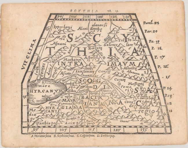
Subject: Central Asia
Period: 1564 (circa)
Publication: Pomponii Melae Philosophi Celeberrimi de Orbis Situ...
Color: Black & White
Size:
6.3 x 4.9 inches
16 x 12.4 cm
Download High Resolution Image
(or just click on image to launch the Zoom viewer)
(or just click on image to launch the Zoom viewer)