Catalog Archive
Auction 187, Lot 276
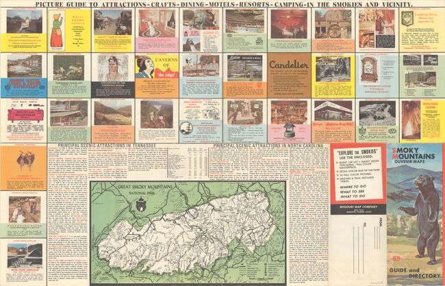
"Vacationland Great Smoky Mountains",

1 of 2
Subject: Eastern Tennessee, Western North Carolina
Period: 1968 (dated)
Publication:
Color: Printed Color
Size:
34.1 x 22.1 inches
86.6 x 56.1 cm
Download High Resolution Image
(or just click on image to launch the Zoom viewer)
(or just click on image to launch the Zoom viewer)