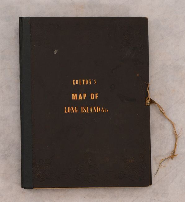
Catalog Archive
Auction 187, Lot 260

Large-Scale Map of Long Island

"Map of Long Island, with the Environs of New-York and the Southern Part of Connecticut, Compiled from Various Surveys & Documents", Smith, J. Calvin

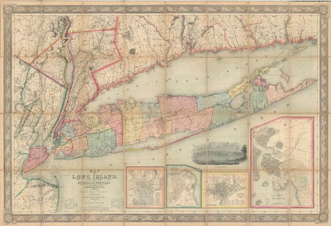
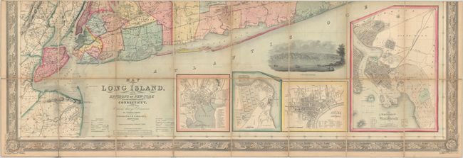
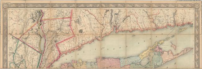
Subject: Long Island, New York

Period: 1856 (dated)

Publication:

Color: Hand Color

Size:
56.3 x 38 inches
143 x 96.5 cm
Download High Resolution Image
(or just click on image to launch the Zoom viewer)

This large-scale map covers all of Long Island from Montauk west to Brooklyn, extending to include portions of New Jersey, New York, and Connecticut. Based upon "various surveys and documents," the map is filled with detail showing completed and projected railroads, roads, canals, mills, factories, and more. The Long Island Railroad, originally chartered in 1834, extends from Brooklyn across the entire island to the depot at Greenport (completed in 1844). Beneath the main map are insets of New Haven, New Brighton, Newark and Brooklyn. A fine view of New Brighton further embellishes the map. Drawn on a scale of 2.5 miles per inch and surrounded by a decorative border. Engraved by S. Stiles & Company and published by J.H. Colton in New York. Dissected and backed with linen. Accompanied by its original covers with "Colton's Map of Long Island &c." on the front cover.

References: cf. Phillips (Maps) p. 532.

Condition: B+

Full contemporary color on a sheet that has been dissected and backed with linen. There is light scattered foxing, minor soiling, and a small hole in the linen backing along the bottom border. Accompanying boards have light wear and the front board has been reattached with hinge tape. Original string ties are heavily frayed and partially missing. The first image was digitally merged, as the map was too large to be scanned whole; please use the second and third images for zooming in on the map, as these images are higher resolution.

Estimate: $2,400 - $3,000

Sold for: $2,300

Closed on 4/27/2022

Archived