Catalog Archive
Auction 186, Lot 805

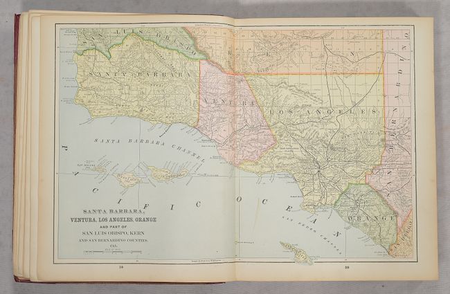
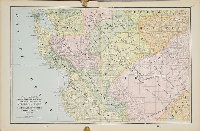
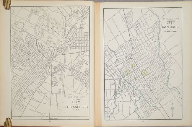
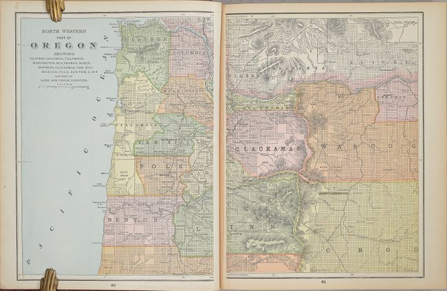
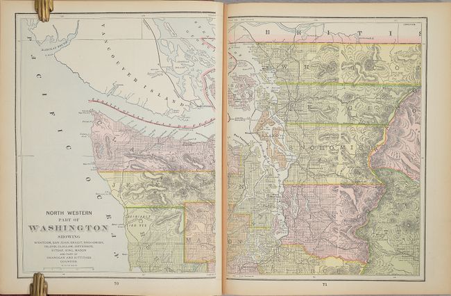
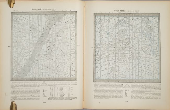
"The Pacific Coast and the World Geographical, Astronomical, Historical...",

Subject: Atlases

Period: 1892 (published)

Publication:

Color: Printed Color

Size:
11.8 x 14.8 inches
30 x 37.6 cm
Download High Resolution Image
(or just click on image to launch the Zoom viewer)

This large atlas was published by the Home Library and Supply Association of Chicago, claiming to contain "the greatest number of maps of any atlas published in the world." This example contains approximately 179 single-page and 40 double-page maps, so their claim might be justified! The atlas is unusual for its emphasis on regional maps of the West Coast of the United States, including 11 maps of California including Southern California and the Bay Area, as well as 4 maps each for Oregon and Washington. Also featured are numerous single-page city maps not seen in other atlases including Sacramento, Oakland, San Diego, San Jose, Portland, and Tacoma. Following the Pacific Coast section is the remainder of the U.S. states, the rest of the world, several moon and celestial charts, and maps of the ancient world. At the back of the atlas is a 21-page Chronology of History and a 105-page index. Rebacked in red cloth over original red cloth covered boards with gilt title on the front cover.

References:

Condition:

The maps are near fine to fine with a few edge tears confined to the margins. One exception is the double-page map of the United States which has a long centerfold separation at bottom and a related chip (B). Text is clean with some light toning along the sheet edges, and there are a couple of small repaired tears to the front endpaper. Rebacked with cloth over original boards, which are worn and soiled. Maps (A) / Binding (B)

Estimate: $350 - $425

Sold for: $425

Closed on 2/9/2022

Archived