Catalog Archive
Auction 186, Lot 738
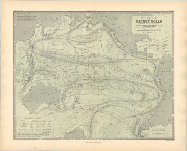
"Physical Chart of the Pacific Ocean or Great Sea (Mare Pacifico)...", Johnston, W. & A.K.
Subject: Pacific Ocean
Period: 1855 (dated)
Publication: The Physical Atlas of Natural Phenomena
Color: Hand Color
Size:
23.2 x 18.7 inches
58.9 x 47.5 cm
Download High Resolution Image
(or just click on image to launch the Zoom viewer)
(or just click on image to launch the Zoom viewer)