Catalog Archive
Auction 186, Lot 188

NO RESERVE

"Vereinigte Staaten von Nordamerika (Blatt I).", Bromme, Traugott

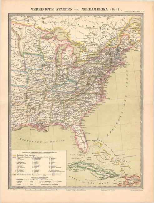
Subject: Eastern United States

Period: 1862 (circa)

Publication: Traugott Bromme's Hand-Atlas

Color: Hand Color

Size:
11.4 x 14.8 inches
29 x 37.6 cm
Download High Resolution Image
(or just click on image to launch the Zoom viewer)

This German atlas map covers the eastern United States and extends to include part of Canada (Britisches Nord Amerika) and the Bahamas, Cuba, and Haiti. It depicts 32 states, including the newest addition, Kansas. Minnesota is listed as a state but shown in its territorial configuration. Nebraska Territory is also delineated along the western edge of the map. The key at bottom left identifies cities based on population, state capitals, railways, and canals. Published in Stuttgart by Krais & Hoffman.

Traugott Bromme was one of the most prolific German travel writers in the mid nineteenth century. He issued a number of travel guides to America, as well as a number of important German atlases. His work was very influential in the influx of Germans who comprised the largest group of immigrants to the United States between 1840 and 1880.

References:

Condition: A

Contemporary color with tiny centerfold separations confined to the blank margins.

Estimate: $50 - $70

Sold for: $36

Closed on 2/9/2022

Archived