Catalog Archive
Auction 185, Lot 89

"Amerique Septentrionale",

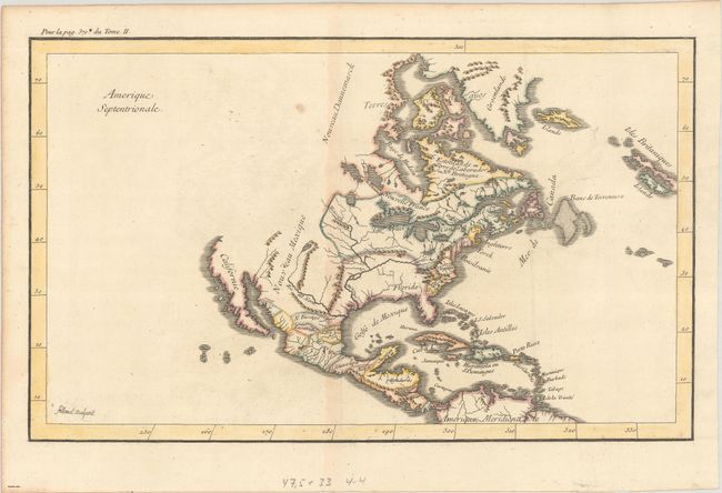
Subject: Colonial North America

Period: 1720 (circa)

Publication:

Color: Hand Color

Size:
15.4 x 9.4 inches
39.1 x 23.9 cm
Download High Resolution Image
(or just click on image to launch the Zoom viewer)

This unusual and scarce map of North America was engraved by Filloeul (Pierre?) as indicated in the lower left corner of the map. It shows the English colonies confined to a narrow strip along the Atlantic Ocean with the Appalachian mountains nearly surrounding Virginia. To its west is a large Floride with the Mississippi River drawn too far to the west. Beyond the Mississippi River is Spanish-controlled New Mexico and a peninsular California. The Pacific Northwest is virtually blank. "Pour la pag. 370 du Tome II" is noted above the top left border.

References:

Condition: B+

Issued folding with light toning along the centerfold, faint offsetting, and a few small spots. There are remnants of hinge tape on verso.

Estimate: $400 - $475

Sold for: $250

Closed on 11/17/2021

Archived