Catalog Archive
Auction 185, Lot 656

NO RESERVE

"A New Map of Asia, from the Best Authorities", Darton, William

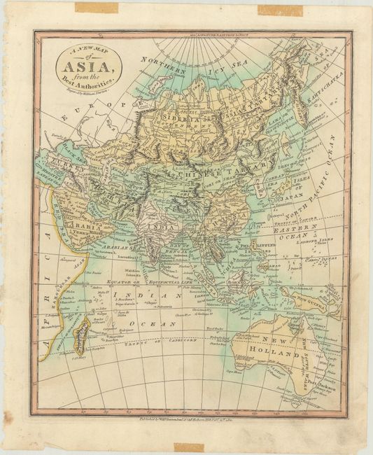
Subject: Asia & Australia

Period: 1811 (dated)

Publication:

Color: Hand Color

Size:
9.4 x 11.4 inches
23.9 x 29 cm
Download High Resolution Image
(or just click on image to launch the Zoom viewer)

This nicely detailed map of the continent extends to also include all of Australia. Company's L. (Compagnie's Land) is identified north of Isles of Jeso - an unusually late appearance of this cartographic myth. The Great Wall of China is graphically depicted. West Papua is separated from the rest of New Guinea by a narrow strait. Straits of Basses and numerous discoveries are noted in New Holland (Australia).

References:

Condition: B+

On paper with an "1812" watermark and tape stains in the far margins on recto. There is light soiling, much of it confined to the margins.

Estimate: $70 - $90

Sold for: $41

Closed on 11/17/2021

Archived