Catalog Archive
Auction 185, Lot 185
"United States", Smith, Charles
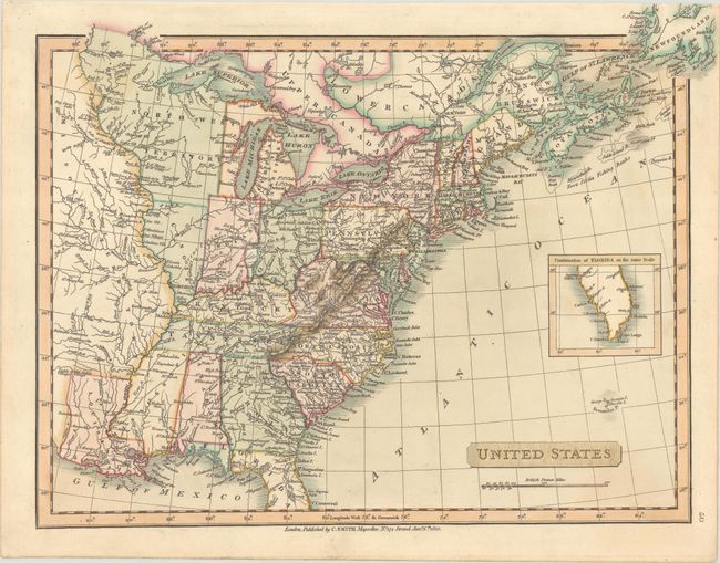
Subject: Eastern United States
Period: 1820 (dated)
Publication: Smith's New General Atlas
Color: Hand Color
Size:
14.4 x 11 inches
36.6 x 27.9 cm
Download High Resolution Image
(or just click on image to launch the Zoom viewer)
(or just click on image to launch the Zoom viewer)