Catalog Archive
Auction 185, Lot 183
"United States", Cobbett, William
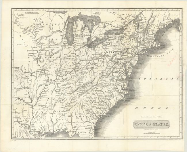
Subject: Eastern United States
Period: 1818 (circa)
Publication: A Year's Residence in the United States...
Color: Black & White
Size:
16.4 x 12.6 inches
41.7 x 32 cm
Download High Resolution Image
(or just click on image to launch the Zoom viewer)
(or just click on image to launch the Zoom viewer)