Catalog Archive
Auction 184, Lot 818

NO RESERVE

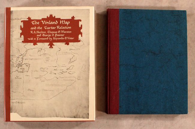
"[Lot of 2] The Vinland Map and the Tartar Relation [and] Proceedings of the Vinland Map Conference",

Subject: References, Vinland Map

Period: 1965-71 (published)

Publication:

Color: Black & White

Size:
See Description
Download High Resolution Image
(or just click on image to launch the Zoom viewer)

A. The Vinland Map and the Tartar Relation, by R.A. Skelton, Thomas E. Marston, and George D. Painter, published 1965 (9.3 x 11.8"). 291 pages with 30 illustrations and maps. This book analyzes 2 documents that surfaced in the late 1950s. The first is a manuscript account of the expedition of Friar Carpini across Central Asia on a mission to the Mongols in 1245-47. The second is a world map including the Western Ocean with representations of Iceland, Greenland, and a land mass named "Vinland" (the North American mainland as known to the medieval Norsemen). Hardbound in red boards with an illustrated dust jacket protected by Mylar. Condition: Near fine with just a hint of shelf wear.

B. Proceedings of the Vinland Map Conference, by Wilcomb E. Washburn, published 1971 (8.8 x 11.3"). Two-page color plate of the Vinland Map, black & white illustrations. A comprehensive chronicle of the debate surrounding the then-controversial Vinland Map. The Vinland Map was believed to be printed in the mid-15th century, which would have made it the only known pre-Columbian map showing the existence of North America. However, specialists at Yale have since determined that the map is a modern forgery. Edited by Washburn and published for the Newberry Library by The University of Chicago Press. Maroon cloth and blue boards, with dust jacket. 185 pages. Condition: Contents are near fine. There is minor soiling on the cover, and the spine is slightly bumped.

References:

Condition: A

See description above.

Estimate: $80 - $100

Sold for: $37

Closed on 9/15/2021

Archived