Catalog Archive
Auction 184, Lot 802

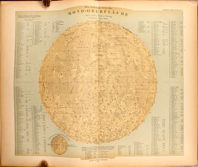
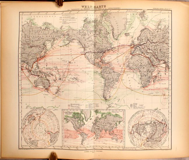
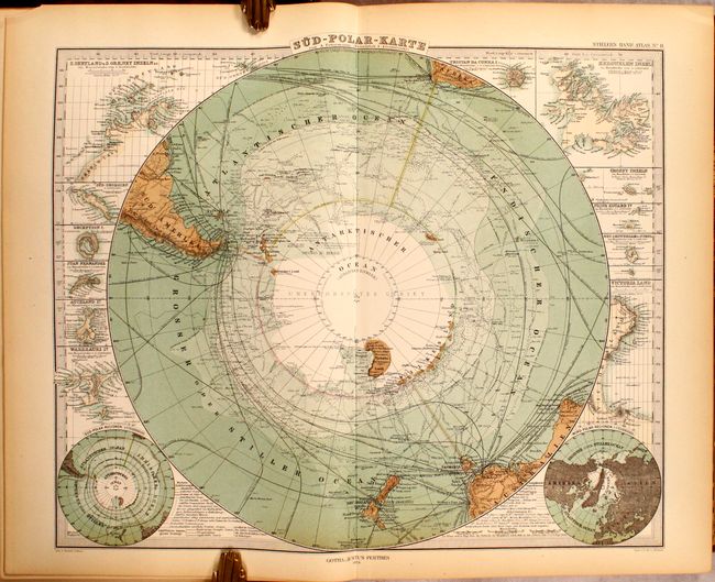
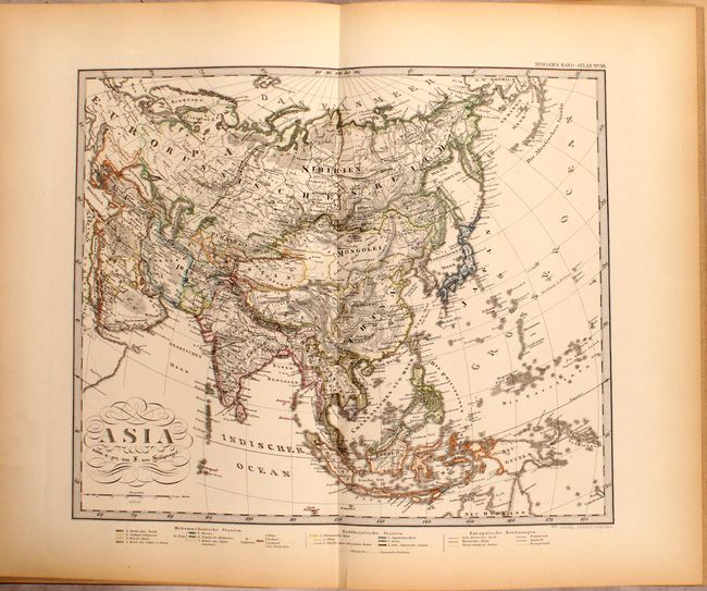
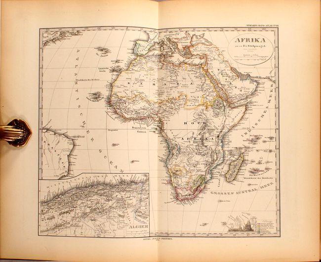
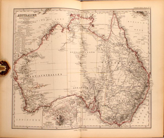
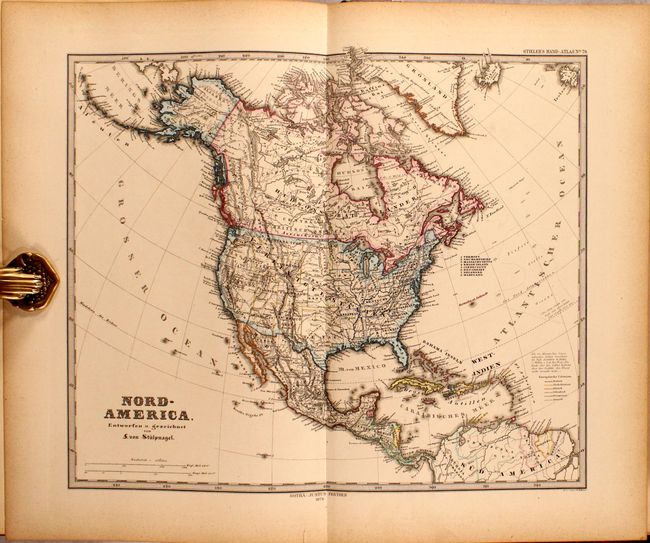
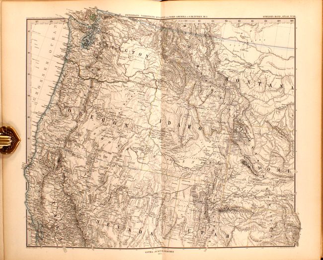
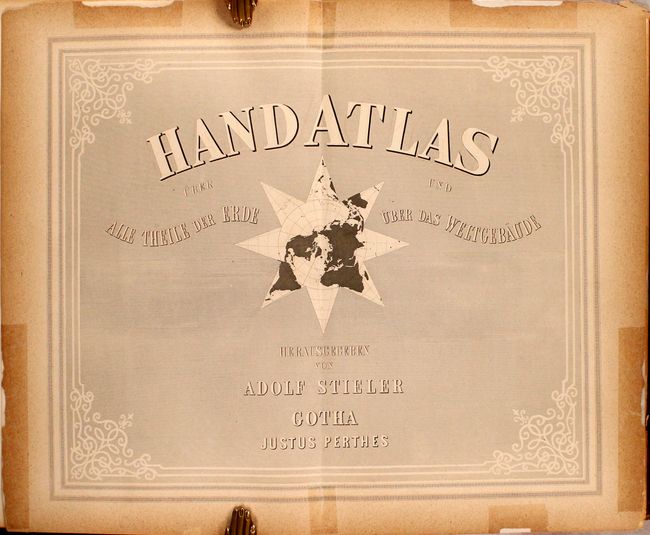
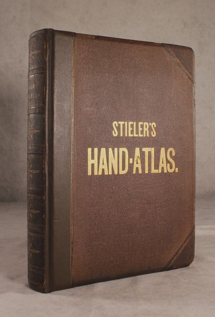
"Handatlas uber und Theile der Erde uber das Weltgebaude", Stieler, Adolph
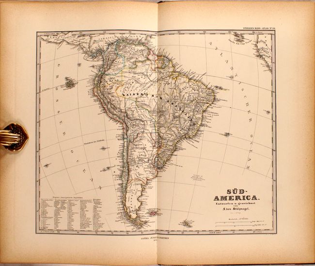
Subject: Atlases

Period: 1876 (circa)

Publication:

Color: Hand Color

Size:
11 x 15.8 inches
27.9 x 40.1 cm
Download High Resolution Image
(or just click on image to launch the Zoom viewer)

This handsome and complete atlas contains 109 double-page steel engraved maps in a beautiful combination of hand coloring and printed color with precise engraved lines characteristic of Stieler's fine work. Each map features exceptional detail and is attached with a backstrap to allow each map to be opened flat. Of the maps, 4 are celestial (including a fabulous engraving of the moon), 6 are related to the world, and the remainder cover continents and countries including Europe (43), Asia (15), Africa (7), Australia (5), and the Americas (12). At the end of the volume are supplemental maps of the Alps Region (8) and a highly-detailed sectional map of Australia (9).

Many of the maps include insets of topographical features and principal cities. The map of Antarctica gives terrific detail of the latest discoveries. The Atlantic Ocean map details the sub-sea telegraph cables. There are six regional maps of the United States to complement the map of the United States & Mexico. Although dated 1873, the U.S. map shows Colorado as a state (1876) and depicts numerous territories including Washington, Idaho, Montana, Dakota, Utah, Arizona, New Mexico and Indian Territory. The map also prominently features the transcontinental railroad from New York City to San Francisco. The maps are dated 1872-1875.

Folio. Rebacked with faux leather over original brown cloth boards with gilt title on the front cover and spine. Published by Justus Perthes.

References:

Condition: B+

The maps are mostly clean and bright, ranging from very good to near fine. There is occasional light toning or staining in the margins and a handful of short separations that haven been closed on verso with old tape. The map of Germany has an 8" fold separation and southern England has a 4" separation both at bottom. The title page, table of contents, and introductory text have tape reinforcement along the edges and backstraps. Rebacked with original boards, which are lightly worn with bumped edges.

Estimate: $400 - $475

Sold for: $225

Closed on 9/15/2021

Archived