Catalog Archive
Auction 184, Lot 801

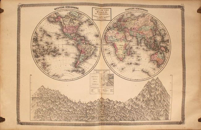
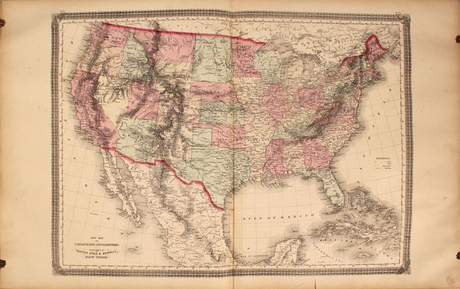
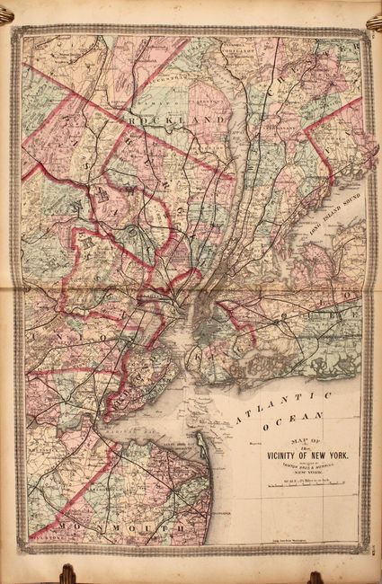
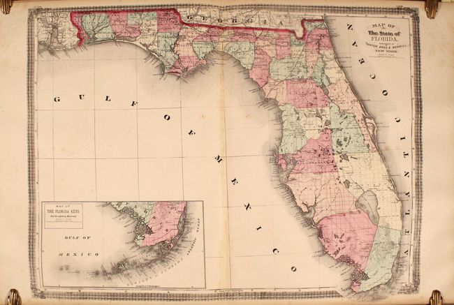
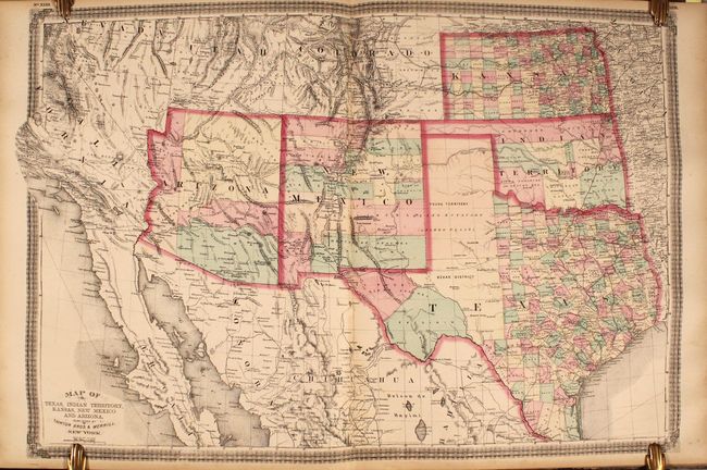
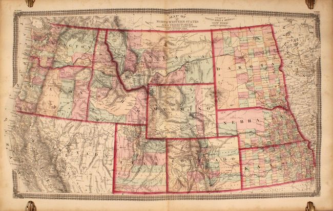
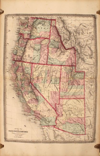
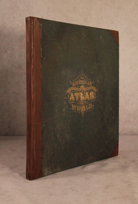
Scarce, Large-Format Atlas with an Emphasis on the United States

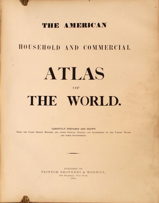
"The American Household and Commercial Atlas of the World...", Taintor & Merrill

Subject: Atlases

Period: 1874 (published)

Publication:

Color: Hand Color

Size:
17.6 x 22.3 inches
44.7 x 56.6 cm
Download High Resolution Image
(or just click on image to launch the Zoom viewer)

This rare atlas includes 38 total maps, consisting of 21 double-page and 17 single-page maps. The atlas has a heavy emphasis on the United States and includes maps of the world (2), North America (29), South America (1), Europe (2), Asia (2), Africa (1), and Oceania (1). Included are nice depictions of the vicinity of New York City, a detailed map of Texas and the Southwest, and 2 maps of the western United States. The Northwestern States and Territories extends from the Dakotas and Kansas west to the Pacific Ocean. The newly established Yellowstone National Park is shown in northwestern Wyoming, and the proposed route of the Northern Pacific Railroad is prominently depicted from Duluth to the Columbia River. The map of North America shows the completed Union Pacific Railroad as well as an early representation of Alaska Territory, which was purchased from Russia in 1867. The double-hemisphere world map is completed by a nice visual of comparative heights of the principal mountains of the world. Elephant folio, rebacked with faux-leather and tips over original green cloth-covered boards with gilt title on front cover. Published by Taintor Brothers & Merrill at 678 Broadway Street in New York.

References:

Condition: B+

The maps are very good with light toning, scattered foxing, and minor soiling. A few of the maps have small edge tears confined to the margins. Rebacked with original boards, which are stained and worn.

Estimate: $1,600 - $1,900

Sold for: $950

Closed on 9/15/2021

Archived